 ORMA
the viewpoint over the Segrino and Pusiano lakes
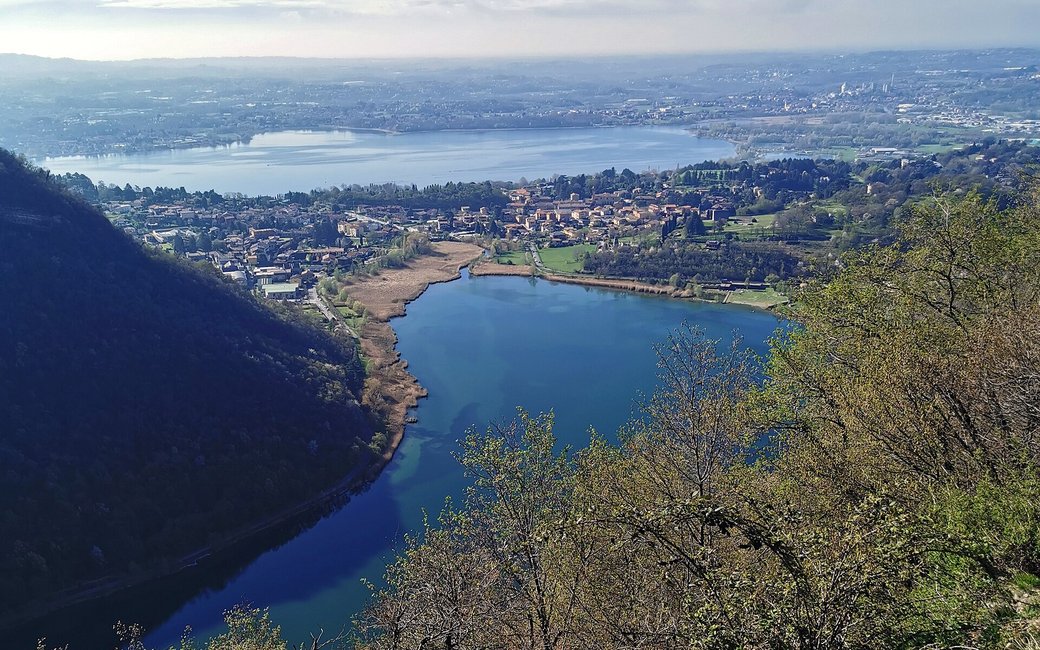
A loop from the Segrino lake up to the Monte Scioscia viewpoint over the Segrino and Pusiano lakes, down to Canzo and back through the woods by Proserpio. The portal lists 12 km and 734 m of ascent.
Snow is possible here from December to February.
Estimated from the walk’s high point (657 m). No tourist board publishes this walk’s season, and every winter is different.
The car parks by the Segrino lake, the published start
Directions: From the car parks by the Segrino lake (bus C49) across the provincial road and up the mule track between the houses into the wood, 700 m to the fork for Inarca; right on the steepest stretch, with a short flight of steps, to a junction, then the “Sentée da mez da Scioscia” for 400 m to a wide mule track and right to the Scioscia viewpoint over the Segrino and Pusiano lakes. Down the narrow path towards the north end of the Segrino, with some tricky passages, for 1 km to via Grandi and down into Canzo; via Brusa and via Puecher beside the railway to Cascina Emilia, up the farm track through beech woods, right towards Castelmarte and left on a dirt road; straight on at the hairpin to the short detour to the Sasso del Numero boulder; up the hill past the Funtanin dal Luf spring and the Sass de la Pulenta to via Spinei and into Proserpio by the church of San Rocco; via Fratelli Rizzi to the roundabout, right along via Inarca to the old farm, down a farm track and along a fence to the first fork, and right back to the lake.
From ORMA's route audit of the official route description. Follow the mapped ORMA line and local signs.
Start by the Segrino lake: 12 km and about 730 m of climbing, four hours. Every commune on the loop requires a lead of at most 1.5 m and a muzzle carried, and the lake is a Natura 2000 site where dogs stay on a lead and on the paths. Skip the descent to Canzo after heavy rain.
The trail rating above describes the mountain, and it's the same for every dog. How it suits yours depends on their build, age and health. See this route's match — scored for a medium dog until you add your own, free and in a minute.
Before you go: the dog safety guide · water for dogs on trail · dogs on cable cars · meeting a guardian dog
