 ORMA
the ridge walk from Passo Rest to Monte Rest
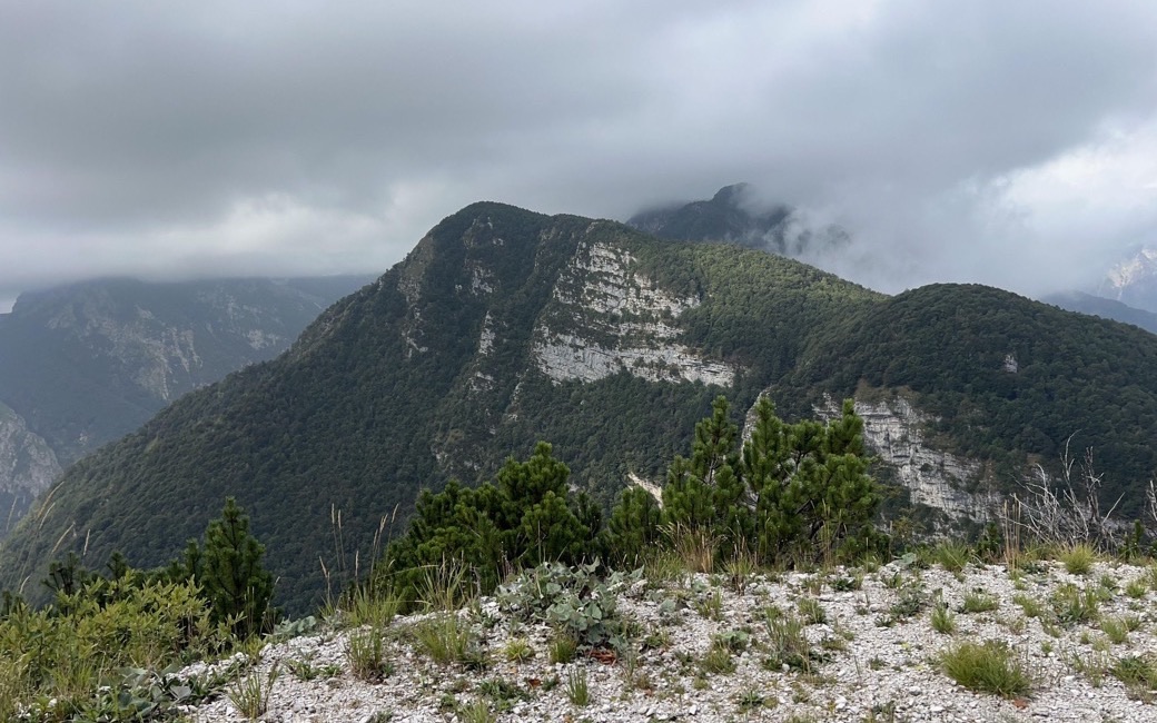
A panoramic climb from Passo Rest past Casera Rest to the summit of Monte Rest along a wide grassy crest, with views over the Carnic Prealps. PromoTurismoFVG lists 7.6 km and 737 m of ascent.
Recommended from April to October.
Source: Outdooractive, read on 7 November 2026.
Passo Rest, the board’s start
Directions: CAI path 826: from Passo Rest up the narrow tarred road to the church, then the dirt road to Casera Rest (1,500 m, an emergency bivouac) in its pasture; on path 826 slanting up the high meadows to the ridge at 1,610 m, leaving the direct path to Forca Separeit for the wide crest above, past a panoramic bench and an old trough to the summit of Monte Rest (1,780 m). Back to the pass the same way.
From ORMA's route audit of the official route description. Follow the mapped ORMA line and local signs.
Drive to Passo Rest (open about April to November): 7.6 km and about 740 m of climbing, nearly four hours. Keep your dog on a lead and carry a muzzle. No water on the ridge: bring plenty and avoid the hottest hours. Casera Rest can be used as an emergency bivouac.
The trail rating above describes the mountain, and it's the same for every dog. How it suits yours depends on their build, age and health. See this route's match — scored for a medium dog until you add your own, free and in a minute.
Before you go: the dog safety guide · water for dogs on trail · dogs on cable cars · meeting a guardian dog