 ORMA
Vercors alpage loop to the Charande viewpoint
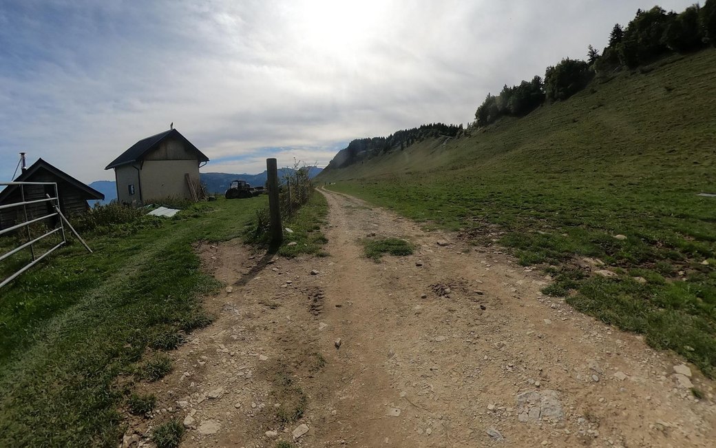
An easy loop on the Molière plateau above Autrans, up to the Charande viewpoint over the Alps and back across the summer alpage past the Gîte de la Molière. The official page lists 5 km, 153 m up and down, about 1 h 30.
Snow is likely here from December to April.
Estimated from the walk’s high point (1703 m). No tourist board publishes this walk’s season, and every winter is different.
La Molière car park at the end of the forest road, the board’s start
Start at the La Molière car park, at the end of the forest road above the Feneys refuge.
Route: Head north towards the Col de la Croix Perrin, passing the Pas du Tracollet, on the yellow-and-red waymarks of the Tour des 4 Montagnes. At Charande, the highest point of Autrans at 1,709 m, stop for the view over the Alps, then carry on along the edge towards the Pas de l’Ours by Sous Charande. Leave the yellow-and-red waymarks and go down to the Gîte de la Molière, then cross the alpage, where heifers graze in summer, back to La Molière and past Sous le Tracollet to the car park.
Key turns: North at the car park for the Croix Perrin by the Pas du Tracollet; on at Charande towards the Pas de l’Ours; leave the yellow-and-red waymarks down to the Gîte de la Molière; across the alpage back by Sous le Tracollet.
Drive up from Autrans by the La Sure resort and the Feneys forest road to the La Molière car park: 5 km round, 153 m up and down, about 1 h 30. On summer weekends the road is closed from 10 am to 7 pm and a shuttle runs from La Sure; ask about snow outside summer.
The trail rating above describes the mountain, and it's the same for every dog. How it suits yours depends on their build, age and health. See this route's match — scored for a medium dog until you add your own, free and in a minute.
Before you go: the dog safety guide · water for dogs on trail · dogs on cable cars · meeting a guardian dog