 ORMA
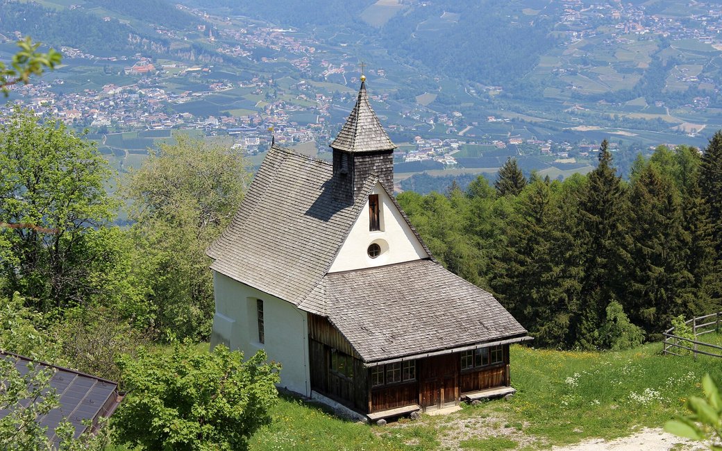
A shady family loop in the woods above Marling near Meran, named after the little St. Martin chapel by the Eggerhöfe: up on forest roads to a viewpoint over the Meran basin and back past the inn. The official route lists 4.3 km and 213 m of ascent.
Snow is possible here from December to February.
Estimated from the walk’s high point (1455 m). No tourist board publishes this walk’s season, and every winter is different.
Bus 268 to Maso Egger runs from spring to autumn: in 2026 from 25 April to 18 October.
Source: South Tyrol bus timetable (STA open data), read on 12 November 2026.
Public car park at the Gasthaus Eggerhof, bus 268 terminus Eggerhof (official start)
Directions: Signed as the Martinsweg: from the Gasthaus Eggerhof car park first path 9, then path 27, up to a viewpoint and back past the inn to the car park.
From ORMA's route audit of the official route description. Follow the mapped ORMA line and local signs.
Take bus 268 to the Eggerhof terminus or park at the Gasthaus Eggerhof, then follow the Martinsweg signs, path 9 and then path 27: 4.3 km, about 210 m of climbing, an hour and a half. Keep your dog on a short lead (1.5 m at most) and carry a muzzle. It is shady and cool, a good summer walk; there is no inn on the loop until you are back at the Eggerhof.
The trail rating above describes the mountain, and it's the same for every dog. How it suits yours depends on their build, age and health. See this route's match — scored for a medium dog until you add your own, free and in a minute.
Before you go: the dog safety guide · water for dogs on trail · dogs on cable cars · meeting a guardian dog
