 ORMA
a forest road below the Civetta to the Malga Pioda pastures and back
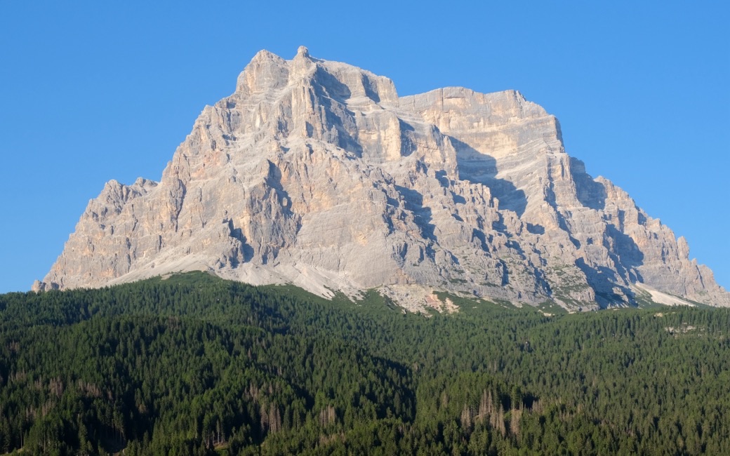
A steady climb on the Via Coi forest road from Palafavera near Pecòl to the pastures of Malga Pioda below the Civetta, with views of the Pelmo, and back the same way. The Fondazione Dolomiti UNESCO lists 3.3 km and 307 m up one way; there and back it is 6.5 km with 307 m up and down.
Snow is likely here from December to April.
Estimated from the walk’s high point (1809 m). No tourist board publishes this walk’s season, and every winter is different.
In winter, 3.2 km of this walk is a ski run (Cornia, Le Coste, Roa Bianca). Expect skiers there while the runs are open, usually from December to April (an estimate).
Read off the map (OpenStreetMap).
June to September (an estimate): cows may be out on the pastures. Keep your dog close and give the herds a wide berth.
Source: South Tyrol tourist board, read on 9 November 2026.
The car park by the Rifugio Palafavera, near Pecòl, the sheet’s start
Start at the car park by the Rifugio Palafavera, near Pecòl in the Val di Zoldo, the sheet’s start. A shuttle bus serves Palafavera in summer.
Trail numbers and route: Past the barrier, follow the Via Coi forest road, closed to traffic, on paths 564 and 556. It climbs steadily on gravel along the gentle lower slopes of the Civetta, through larch and spruce and across open pastures with views of the Civetta and the Pelmo, to the pastures of Malga Pioda. Come back the same way.
Where to switch: Via Coi forest road from the Palafavera car park on paths 564 and 556, steadily up to Malga Pioda; back the same way.
Start at the Palafavera car park near Pecòl: 3.3 km and 307 m up to Malga Pioda; about 2 h 25 there and back. The sheet recommends late June to mid-September, when the malga is in use. Malga Pioda serves no food, so bring water and a snack.
The trail rating above describes the mountain, and it's the same for every dog. How it suits yours depends on their build, age and health. See this route's match — scored for a medium dog until you add your own, free and in a minute.
Before you go: the dog safety guide · water for dogs on trail · dogs on cable cars · meeting a guardian dog
