 ORMA
the Pré Lombard marsh
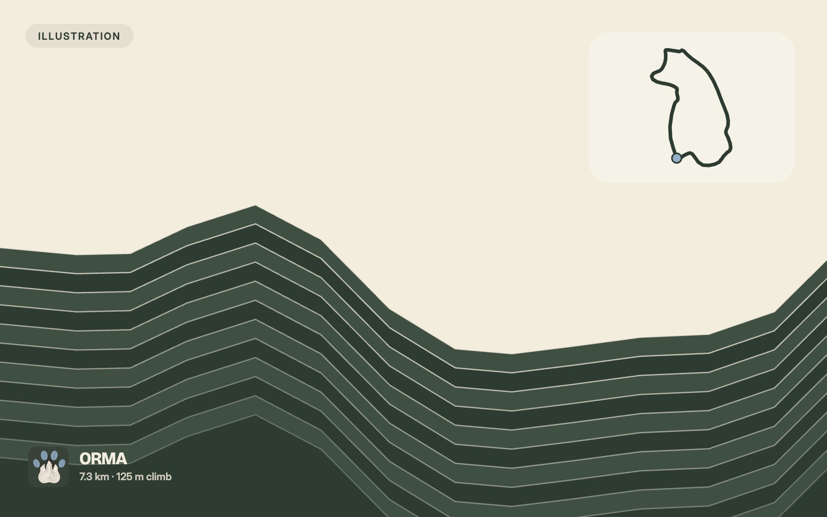
A 7.3 km loop through the farmland, woods and marsh west of La Motte-Servolex: from the Chemin de Pré Marquis along the A43, across the Servolex plateau and Grands Champs, down a fairly steep path to the Combe stream, up to Beauvoir and Montarlet, then down to the Pré Lombard marsh and back along the wide track beside the Leysse. The tourist office gives 2 hours and 125 m of climb, and says it is not waymarked, so take the route sheet. This walk is not yet verified by ORMA.
La Motte-Servolex requires every dog to be kept on a lead, everywhere in the commune.
Snow is possible here from December to February.
Estimated from the walk’s high point (317 m). No tourist board publishes this walk’s season, and every winter is different.
Suggested start, Chemin de Pré Marquis, La Motte-Servolex (official start; alternative from the car park on Place Rémi Catin, opposite the post office). Check current access before travelling.
Start on Chemin de Pré-Marquis. Place Rémi Catin, opposite the Post Office, is the official parking and alternative access point.
Route: Join Rue de Servolex and climb to the hamlet of Servolex. Cross Les Grands Champs, then descend to the Ruisseau de la Combe. Join the road and climb left through Beauvoir towards Montarlet. Descend to the marshes and follow the wide track beside the Leysse before returning to the start.
Key turns: After Les Grands Champs, take the steep descending path to the Ruisseau de la Combe. On reaching the road, turn left uphill towards Beauvoir and Montarlet. Near the motorway, turn right to complete the loop back to the starting point.
Do not rely on potential water locations being available or drinkable. Carry enough for the full walk.
Keep your dog on a lead the whole way: La Motte-Servolex requires it everywhere. About half the walk is on public lanes and roads, and the southern leg runs close to the A43 motorway and a slip road, so hold your dog close there. There is almost no shade and no drinking water, so avoid hot days and carry water. The route is not waymarked: take the tourist office's route sheet.
The trail rating above describes the mountain, and it's the same for every dog. How it suits yours depends on their build, age and health. See this route's match — scored for a medium dog until you add your own, free and in a minute.
Before you go: the dog safety guide · water for dogs on trail · dogs on cable cars · meeting a guardian dog