 ORMA
the green lake
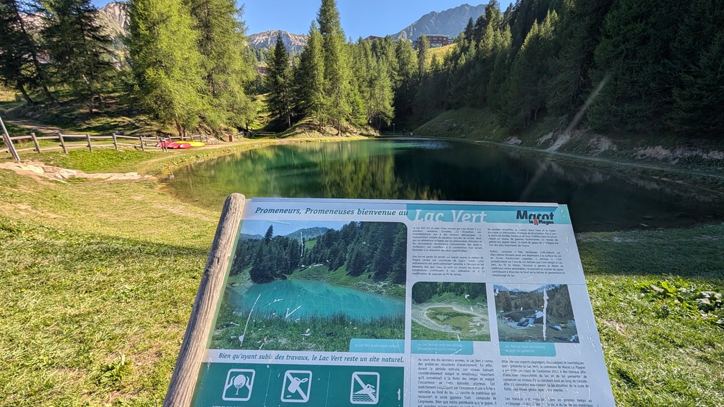
A family loop from Plagne Centre at 2,000 m in the Tarentaise: down through the larches, across a stream, and up to the little Lac Vert with its Mont Blanc view, orientation table and picnic meadows, before returning past Plagne Aime 2000 and the Jean-Luc Cretier slalom slope. An official La Plagne resort circuit, rated green and easy; the tourist office lists dogs as welcome.
Snow is likely here from November to May.
Estimated from the walk’s high point (2066 m). No tourist board publishes this walk’s season, and every winter is different.
In winter, 0.9 km of this walk is a ski run (Jean-Marie, Lovatière, Pavane). Expect skiers there while the runs are open, usually from December to April (an estimate).
Read off the map (OpenStreetMap).
Suggested start, war memorial (WW2 parachute drop) in Plagne Centre, by the shuttle stop and parking. Check current access before travelling.
Do not rely on potential water locations being available or drinkable. Carry enough for the full walk.
Keep your dog on a lead along the resort roads: the road variant follows the D221 for about 800 m, partly at 80 km/h with no pavement. Swimming in the lake is forbidden, for dogs too, and the meadow fills with picnics in season. The path out of the village drops very steeply for about ten minutes; the road variant avoids it. There is no drinking water on the way and the stream at the bottom can run dry, so carry water. The tourist office quotes 3.4 km for the direct route; the road variant is longer.
The trail rating above describes the mountain, and it's the same for every dog. How it suits yours depends on their build, age and health. See this route's match — scored for a medium dog until you add your own, free and in a minute.
Before you go: the dog safety guide · water for dogs on trail · dogs on cable cars · meeting a guardian dog