 ORMA
from the Klausner Hütte to Lake Radlsee
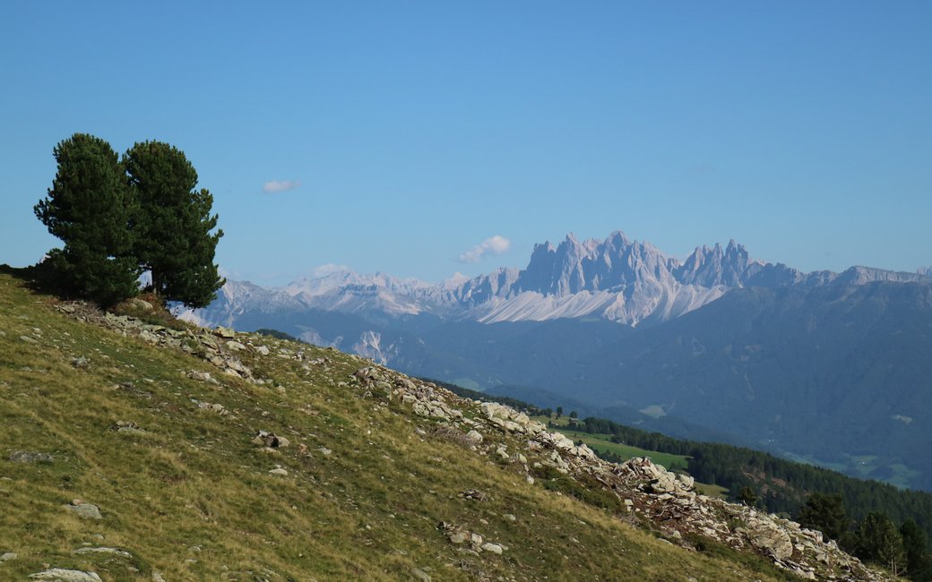
A high loop in the Sarntal Alps above Latzfons, from the Kühhof to the Klausner Hütte, over the Schalderer Scharte to the Radlsee hut and back by the Brugger alp, with the Dolomites in view. The board lists 10.6 km and 558 m up.
Recommended from May to October.
Source: Outdooractive, read on 6 November 2026.
The Klausner Hütte is open from 7 May to 25 October (summer 2026 dates; winter dates not yet published).
Source: klausnerhuette.it, read on 11 November 2026.
June to September (an estimate): cows may be out on the pastures. Keep your dog close and give the herds a wide berth.
Source: South Tyrol tourist board, read on 9 November 2026.
Kühhof car park above Latzfons, the board’s start
Start at the Kühhof car park above Latzfons, the board’s start.
Trail numbers and route: Follow path 1 up to the Klausner Hütte (Rifugio Chiusa). Continue through stone pine woods to the Schalderer Scharte, then follow the European long-distance path to the Radlsee hut (Rifugio Lago Rodella). Come back past the Brugger alp hut (not staffed) on path 14 to the car park.
Where to switch: Two changes: at the Schalderer Scharte join the European long-distance path, and after the Radlsee hut take path 14 back down.
Start at the Kühhof car park above Latzfons: a 10.6 km loop, about 560 m up and down, three and a half hours. Keep your dog on a lead of at most 1.5 m and carry a muzzle: cows and horses graze up here. Drinking water at km 1.7, 3.4 and 7.7; the Klausner Hütte and the Radlsee hut serve food in summer.
The trail rating above describes the mountain, and it's the same for every dog. How it suits yours depends on their build, age and health. See this route's match — scored for a medium dog until you add your own, free and in a minute.
Before you go: the dog safety guide · water for dogs on trail · dogs on cable cars · meeting a guardian dog
