 ORMA
the Romanesque churches of the Vallassina and the Crezzo lake
A loop from Lasnigo above the Lambro to Barni and its old churches, up through the woods to the Madonnina and back past the Crezzo lake. The portal lists 9.18 km and 580 m of ascent.
Snow is possible here from December to February.
Estimated from the walk’s high point (878 m). No tourist board publishes this walk’s season, and every winter is different.
Piazza Roma, Lasnigo, the published start
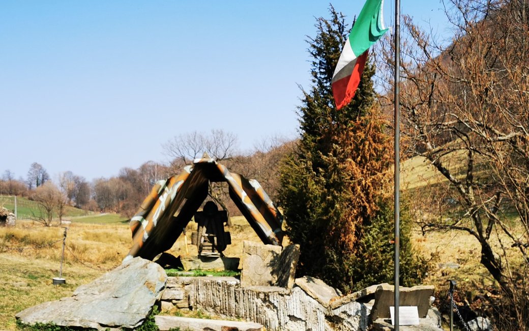
Directions: From Piazza Roma in the old centre of Lasnigo past the parish church along via Pietro Fioroni (drinking fountain) to the junction for the church of Sant’Alessandro (a 400 m return detour); straight on to the dirt road of Gera, right after 400 m on the dirt road Selva Bella above the Lambro, across the provincial road after 1.8 km and on through the meadows to Barni (700 m); along via Don Giuseppe Bolgeri to the centre and the church of the Annunciazione; via Don Bartolomeo and via Andreoletti (detour to the church of San Paolo), then up the road towards the Madonnina, which becomes a steep path in the wood; past a farmhouse, right at the fork, back on via per la Madonnina, and on the woodland path that crosses the road twice up to below the Madonnina restaurant; left for 250 m to the junction with the Crezzo road (detour of 600 m return to the ATR 42 memorial), right along the road for 800 m to the Conca di Crezzo and its little lake, and down the road for 2.5 km back to Lasnigo.
From ORMA's route audit of the official route description. Follow the mapped ORMA line and local signs.
Start in Piazza Roma in Lasnigo (bus C36): 9.2 km and 580 m of climbing, about three hours. Fill up at the fountain on via Fioroni and at the Crezzo picnic area. Keep your dog on a lead of at most 1.5 m on the roads and carry a muzzle.
The trail rating above describes the mountain, and it's the same for every dog. How it suits yours depends on their build, age and health. See this route's match — scored for a medium dog until you add your own, free and in a minute.
Before you go: the dog safety guide · water for dogs on trail · dogs on cable cars · meeting a guardian dog
