 ORMA
a flat loop from the station
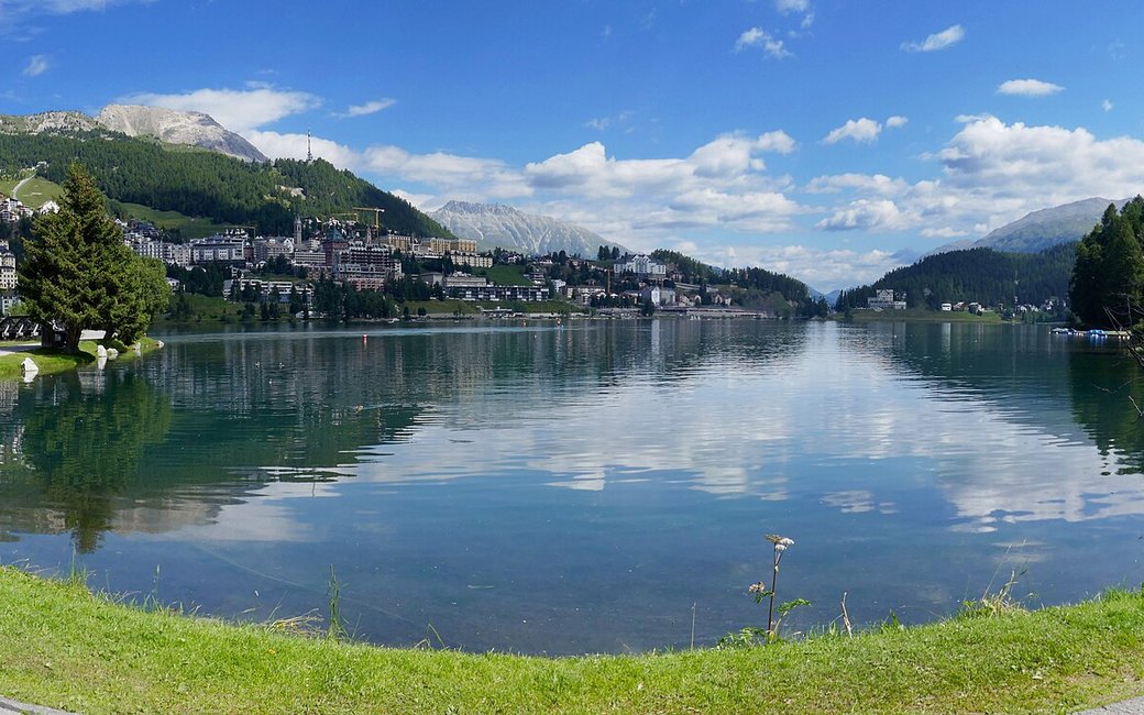
A flat walk all the way round Lake St. Moritz on the shore path, from St. Moritz station past St. Moritz Bad and back. The board lists 4.3 km, 2 m up and 2 m down, 1 h 05.
Recommended from May to October.
Source: Outdooractive, read on 7 November 2026.
St. Moritz station, the board’s start
Start at St. Moritz railway station, the board’s start, and walk down to the lakeshore path right beside it.
Route: Turn so the lake is on your right and follow the shore path round the lake. It runs partly on tarred path and partly on fine gravel, with short wooden bridges over the inlets. At the far, south-west end you pass St. Moritz Bad; keep the water on your right and follow the path back along the other shore, briefly on the quiet Via Sela, until you return to the station.
Key turns: No turns to make: keep the lake on your right the whole way round and follow the shore path back to the station.
Start at St. Moritz station: a flat 4.3 km loop round the lake, about an hour. Keep your dog on a lead. No drinking water mapped on the shore path: bring water. Cafés in St. Moritz Bad and by the station.
The trail rating above describes the mountain, and it's the same for every dog. How it suits yours depends on their build, age and health. See this route's match — scored for a medium dog until you add your own, free and in a minute.
Before you go: the dog safety guide · water for dogs on trail · dogs on cable cars · meeting a guardian dog
