 ORMA
the climb from Patascoss to the Ritort lake
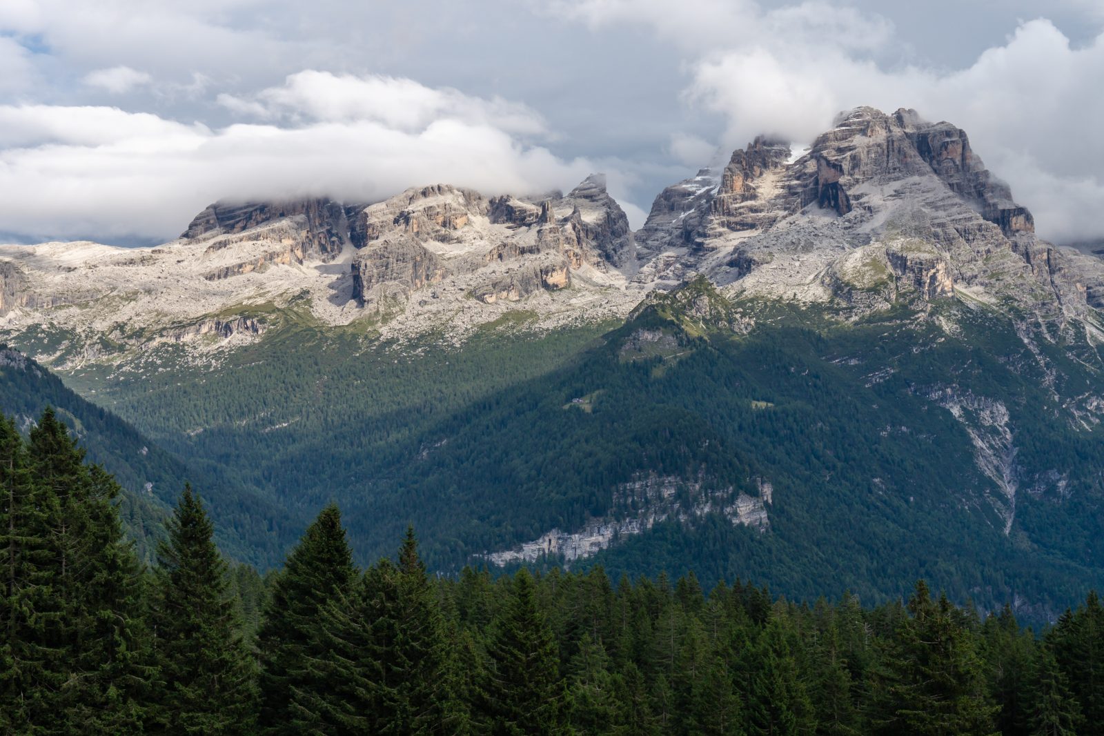
A climb from Patascoss past Malga Ritorto and across the wild Pian dei Mughi to the Lago Ritorto, facing the Brenta Dolomites, in the Adamello Brenta Nature Park. The APT lists 5.4 km and 339 m of ascent, one way.
Recommended from April to October.
Source: Outdooractive, read on 6 November 2026.
June to September (an estimate): cows may be out on the pastures. Keep your dog close and give the herds a wide berth.
Source: South Tyrol tourist board, read on 9 November 2026.
December to February (an estimate): the roads and lanes on this walk may be salted when they ice over. Salt hurts dogs’ paws: check them after the walk and rinse them with warm water.
Source: Province of Bolzano weather service, Bozen station temperatures, read on 10 November 2026. German Federal Chamber of Veterinarians, read on 10 November 2026.
Patascoss, the APT’s start
Directions: Path SAT 277 for the upper part: from Patascoss, a couple of kilometres north of Madonna di Campiglio, gently up a small tarmac road and then a track through clearings and spruce woods to Malga Ritorto (restaurant, wide view of the Brenta); then SAT 277 across the Pian dei Mughi, where chamois and roe deer are often seen, past the ruins of Malga della Pozza dei Garzoni, to the Lago Ritorto (2,055 m). Back the same way.
From ORMA's route audit of the official route description. Follow the mapped ORMA line and local signs.
Start at Patascoss: 5.4 km and about 340 m of climbing to the lake, two and a half hours one way, then the same way back. Keep your dog on a lead all the way, and stay on the path between 1 April and 15 July. Malga Ritorto halfway serves food.
The trail rating above describes the mountain, and it's the same for every dog. How it suits yours depends on their build, age and health. See this route's match — scored for a medium dog until you add your own, free and in a minute.
Before you go: the dog safety guide · water for dogs on trail · dogs on cable cars · meeting a guardian dog
