 ORMA
a flat walk round the lake
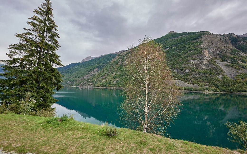
A flat loop round Lago di Poschiavo from Le Prese: south beside the Bernina railway on the west shore to Miralago, then back through the forest on the east shore. The board lists 7.3 km, 26 m up and down, 1 h 50.
Snow is possible here from December to February.
Estimated from the walk’s high point (994 m). No tourist board publishes this walk’s season, and every winter is different.
Le Prese station on the Bernina railway, the board’s start
Start at Le Prese station on the Bernina railway, the board’s start, at the north end of the lake.
Route: From Le Prese follow the path south beside the railway along the right-hand, west shore of Lago di Poschiavo. After about 2.9 km you reach Miralago at the south end of the lake, with its station, restaurants and a drinking fountain. From Miralago continue round onto the left-hand, east shore and walk north on the path through the forest along the water, past the meadows of Caneu and Plazz and the Botul park, back to Le Prese, where the loop ends.
Key turns: Key turns: from Le Prese station head south on the west shore beside the railway; at Miralago cross to the east shore and walk north back to Le Prese.
Start at Le Prese station: a flat 7.3 km loop round the lake, 26 m up and down, about two hours. Keep your dog on a lead. Drinking water at km 0.7, km 2.9 (Miralago), km 4.3 and km 6. Food at Le Prese and Miralago.
The trail rating above describes the mountain, and it's the same for every dog. How it suits yours depends on their build, age and health. See this route's match — scored for a medium dog until you add your own, free and in a minute.
Before you go: the dog safety guide · water for dogs on trail · dogs on cable cars · meeting a guardian dog
