 ORMA
the loop round the Fusine lakes
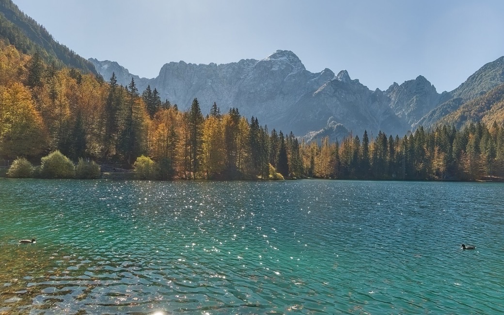
An easy loop round the two Fusine lakes below the Mangart, through beech and spruce forest and over a moraine ridge, back along the lakeside promenade. PromoTurismoFVG lists 5.4 km and 104 m of ascent.
Recommended all year.
Source: Outdooractive, read on 7 November 2026.
Lower lake car park past Scichizza, Fusine in Valromana, the board’s start
Directions: No route number given: from the car park past the houses of Scichizza, a short stretch through the forest on boardwalks, along the Lower Lake past the streams that feed it with the Mangart and Ponze walls ahead, through beech and spruce over a moraine ridge with large erratic boulders to the Upper Lake; along its western shore to the wide southern plain, then back on the broad promenade to the Capanna Edelweiss and the start, by the lake path or the tarred road.
From ORMA's route audit of the official route description. Follow the mapped ORMA line and local signs.
Start at the lower lake car park past Scichizza (paid at busy times): 5.4 km and about 100 m of climbing, two hours. Tarvisio requires a lead of at most 1.5 m everywhere and a muzzle carried. Stay on the marked paths round the lakes. The Capanna Edelweiss and other places to eat are by the lakes.
The trail rating above describes the mountain, and it's the same for every dog. How it suits yours depends on their build, age and health. See this route's match — scored for a medium dog until you add your own, free and in a minute.
Before you go: the dog safety guide · water for dogs on trail · dogs on cable cars · meeting a guardian dog
