 ORMA
along the lake and over the high footbridge
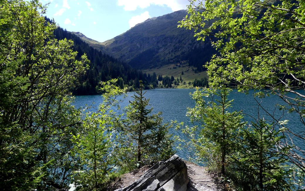
An easy, almost level walk along the shore of the Lac de Saint-Guérin above Arêches, through spruce woods and across a long footbridge high above the water, to the head of the lake and back. The official page lists 4.2 km, 50 m up and 50 m down, about 2 h 30.
Snow is possible here from December to February.
Estimated from the walk’s high point (1585 m). No tourist board publishes this walk’s season, and every winter is different.
Car park by the Saint-Guérin dam, the board’s start
Start at the car park by the Saint-Guérin dam (about 1,560 m), the board’s start; the dam itself is a short detour to the left before you set off.
Route: Take the path to the right along the lake shore and cross the small bridge. Carry on along the shore to the footbridge, 80 m long and more than 20 m above the water, and cross it. Follow the path to the head of the lake, where the Louze stream flows in, then turn round and come back the same way to the car park.
Key turns: One choice at the start: right along the shore, not across the dam. After that the path is the only one along the lake; turn round at the head of the lake.
Park by the dam (free shuttles from Albertville, Beaufort and Arêches in July and August): 4.2 km there and back, almost level, about two and a half hours at an easy pace. Keep your dog on a lead, especially on the high footbridge. Open from June to mid-October, outside the snow; no drinking water on the way, so bring some for your dog.
The trail rating above describes the mountain, and it's the same for every dog. How it suits yours depends on their build, age and health. See this route's match — scored for a medium dog until you add your own, free and in a minute.
Before you go: the dog safety guide · water for dogs on trail · dogs on cable cars · meeting a guardian dog
