 ORMA
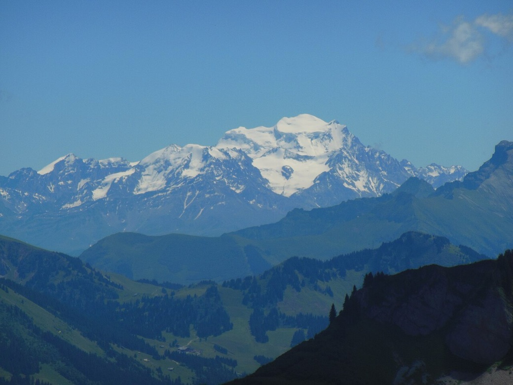
A 6.7 km loop from the Chalets de Bise above Vacheresse over three cols to the Lac de Darbon, on the departmental walking network: up via La Salle and the Col de Bise to the Col de Pavis, across to the lake, and back by the Col de Floray with a steep final descent to the chalets. Officially 3 hours 30 and 640 m of climb, between 1,500 and 1,955 m, rated quite difficult; the route is open from 1 June to 15 October.
Dogs must be kept on a lead the whole way: about 60% of the walk lies in the Cornettes de Bise biotope protection area, the commune requires a lead and forbids swimming in the lake for animals too, and the route page asks for it because of herds and wildlife. Herds with livestock guardian dogs graze here, and the department strongly advises against bringing pet dogs near the herds.
Snow is likely here from December to April.
Estimated from the walk’s high point (1923 m). No tourist board publishes this walk’s season, and every winter is different.
Parking des Chalets de Bise, Vacheresse (official start)
This walk has no trail number of its own: follow these landmarks
Start at the Chalets de Bise car park, Vacheresse, the department’s start.
Directions: Conseil départemental de la Haute-Savoie, checked 30 October 2026.
This is guardian-dog country: the department says pet dogs are strongly discouraged near the herds, so think twice before bringing yours, and keep it on a short lead the whole way. If a guardian dog approaches, let it, do not force your way through; in a conflict, drop the lead, do not step in and do not pick your dog up. Dogs may not swim in the Lac de Darbon. There is no shade and no water after the chalets, so carry plenty and go early. Watch the cliff edge near the lake and take the steep descent slowly. Open 1 June to 15 October.
The trail rating above describes the mountain, and it's the same for every dog. How it suits yours depends on their build, age and health. See this route's match — scored for a medium dog until you add your own, free and in a minute.
Before you go: the dog safety guide · water for dogs on trail · dogs on cable cars · meeting a guardian dog
