 ORMA
ORMA
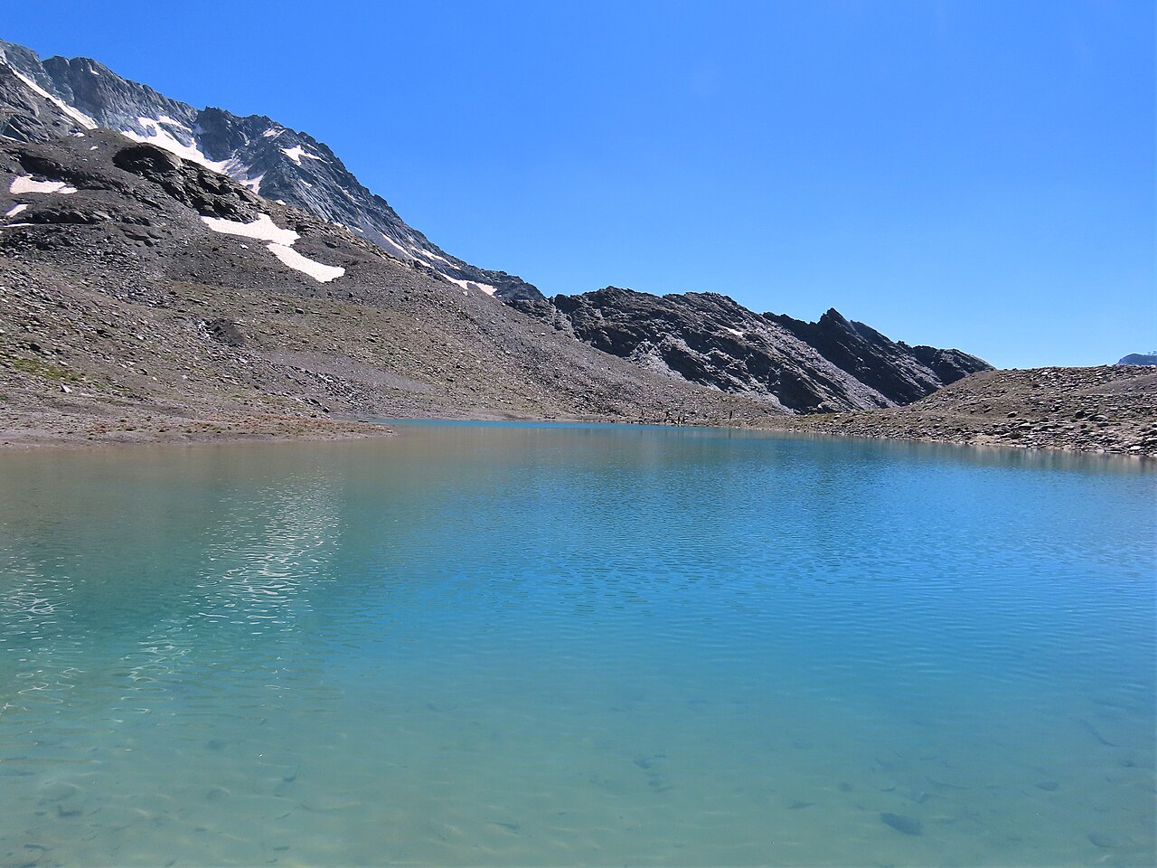
A 6.4 km loop near Modane / Maurienne, imported from the OpenStreetMap hiking network (trail 18). Passed automated dog-suitability screening: no via ferrata, ladders, or alpine-grade (T3+) sections on record.
This is a true loop: it closes back on its own start point, so there's no return leg to plan; 444 m of gain over 6.4 km is a real climb: budget rests, and halve expectations for short-legged dogs; no water points are mapped on this route, so carry everything your dog will drink.
Mapped start suggestion, Lift station Cascades, 29 m from the route. Check current access before travelling.
Do not rely on potential water locations being available or drinkable. Carry enough for the full walk.
Use the live forecast, check local access information and be ready for changing mountain conditions.
The trail rating above describes the mountain, and it's the same for every dog. How it suits yours depends on their build, age and health. See this route's match — scored for a medium dog until you add your own, free and in a minute.
Before you go: the dog safety guide · water for dogs on trail · dogs on cable cars · meeting a guardian dog
