 ORMA
the long loop to the Rit meadows
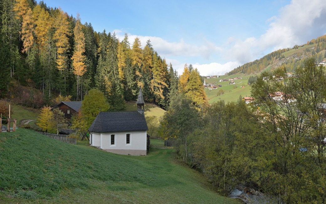
A long loop from La Val past the chapel of Santa Barbara and the Rit lake to the high Rit meadows and the Ütia da Rit, and back through Spëscia. The board lists 14.1 km and 728 m of ascent.
Recommended from May to November.
Source: Alta Badia tourist board, read on 6 November 2026.
In winter, 1.9 km of this walk is a sled run (Rit-Biei). Expect skiers there while the runs are open, usually from December to April (an estimate).
Read off the map (OpenStreetMap).
La Val centre, the board’s start
Directions: Paths 6, 15, 13 and 16: from the centre of La Val on path 6 to the chapel of Santa Barbara, up left to the farms of Ciablun, Runch and Biei (reachable by car), on path 6 along the forest road to the small Rit lake, a protected natural monument; right on path 15 and at the junction on the mule track 13 to the Rit meadows, with a short detour right to the Rit cross, the best viewpoint. Back east on path 13 along a grassy ridge to the Ütia da Rit (closed in winter), then down path 16 to Spëscia and back into La Val.
From ORMA's route audit of the official route description. Follow the mapped ORMA line and local signs.
Start in the centre of La Val: 14.1 km and about 730 m of climbing, nearly five hours. La Val has no dog regulation of its own, so the national rule applies: keep your dog on a lead of at most 1.5 m and carry a muzzle. Keep your dog out of the Rit lake. The Ütia da Rit on the ridge is open in summer.
The trail rating above describes the mountain, and it's the same for every dog. How it suits yours depends on their build, age and health. See this route's match — scored for a medium dog until you add your own, free and in a minute.
Before you go: the dog safety guide · water for dogs on trail · dogs on cable cars · meeting a guardian dog
