 ORMA
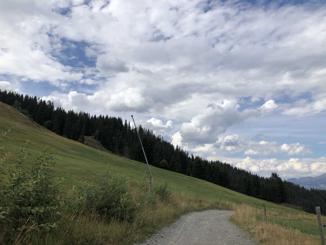
A 9.1 km loop above Combloux to the Croix des Salles, waymarked with cream signs. From the Cuchet car park it climbs past Le Châble d'en Bas to the top of the ski area at the Sommet des Salles, where a short path on the left leads to the cross, then comes down by the top of the Jaillet gondola, the Lac du Jaillet, La Ravine and the Alpage de Beauregard. Officially 3 hours 30 and 498 m of climb, up to about 1,750 m; open from 1 May to 15 November.
The tourist office accepts dogs on a lead and warns that herds may be present. There is no protected area on the route, and French law forbids letting dogs stray.
Snow is likely here from December to April.
Estimated from the walk’s high point (1747 m). No tourist board publishes this walk’s season, and every winter is different.
In winter, 3.2 km of this walk is a ski run (Roitelets, La Croix, Dames). Expect skiers there while the runs are open, usually from December to April (an estimate).
Read off the map (OpenStreetMap).
Parking de Cuchet, route de La Cry-Cuchet, Combloux (official start)
Keep your dog on a lead, as the tourist office asks, and give any herds a wide berth. The route follows stony ski-area tracks, where service vehicles may pass. Drinking water is at the Cuchet car park at the start; carry enough for the climb. About 60% of the walk is in forest. Not suitable for pushchairs.
The trail rating above describes the mountain, and it's the same for every dog. How it suits yours depends on their build, age and health. See this route's match — scored for a medium dog until you add your own, free and in a minute.
Before you go: the dog safety guide · water for dogs on trail · dogs on cable cars · meeting a guardian dog