 ORMA
the flat riverside loop on the Val Rendena cycle path
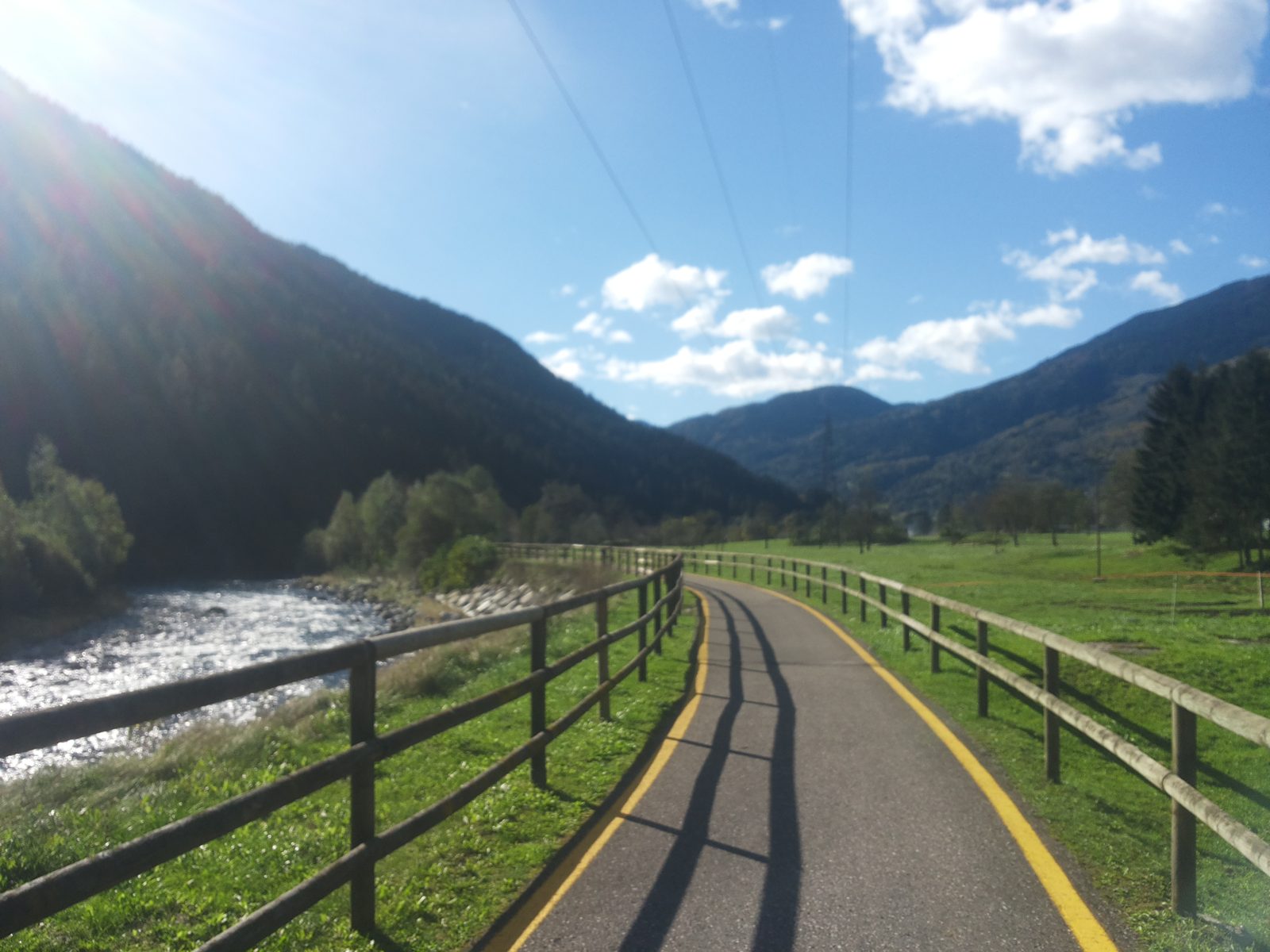
A flat loop on the floor of the Val Rendena along both banks of the Sarca, between Javrè, Darè, Vigo and Pelugo, mostly on the cycle path and quiet lanes. The APT lists 7.2 km and 79 m of ascent.
Recommended all year.
Source: Outdooractive, read on 6 November 2026.
March to April: pine processionary caterpillars come down from the pines below about 1400 m, and they are a danger to dogs. Keep your dog away from pines and from the caterpillars.
Source: Province of Trento, forestry service, read on 9 November 2026.
March to June: ticks in the woods below about 1200 m, most of all from late May to mid-June. Check your dog after the walk.
Source: Province of Trento and Fondazione Edmund Mach, read on 9 November 2026.
June to August: the valleys are hot, with average daily highs of about 30 °C in Bozen. Dogs bear heat badly: walk early in the morning or in the evening, and carry water.
Source: Province of Bolzano weather service, Bozen station temperatures, read on 10 November 2026. Swiss Federal Food Safety and Veterinary Office (BLV), read on 10 November 2026.
December to February (an estimate): the roads and lanes on this walk may be salted when they ice over. Salt hurts dogs’ paws: check them after the walk and rinse them with warm water.
Source: Province of Bolzano weather service, Bozen station temperatures, read on 10 November 2026. German Federal Chamber of Veterinarians, read on 10 November 2026.
Porte di Rendena information point, Villa Rendena, the APT’s start
Directions: Not a numbered route: from the information point at Villa Rendena a few metres north on the main road, then the first lane down on the right to the cycle and foot path; south on it to the bridge over the Sarca; across, and north on the tarmac lane on the far bank; at the concrete bridge, without crossing, straight on along a lane that becomes a track and then a path to Parco Masere; from the park south on the cycle path and a stretch of side road back to the start.
From ORMA's route audit of the official route description. Follow the mapped ORMA line and local signs.
Start at the information point at Villa Rendena (free parking): 7.2 km, under 100 m of climbing, about two and a half hours. Keep your dog on a lead of at most 1.5 m and carry a muzzle. The valley floor is hot in summer: go early or late and fill up at the Bici Grill in Vigo.
The trail rating above describes the mountain, and it's the same for every dog. How it suits yours depends on their build, age and health. See this route's match — scored for a medium dog until you add your own, free and in a minute.
Before you go: the dog safety guide · water for dogs on trail · dogs on cable cars · meeting a guardian dog
