 ORMA
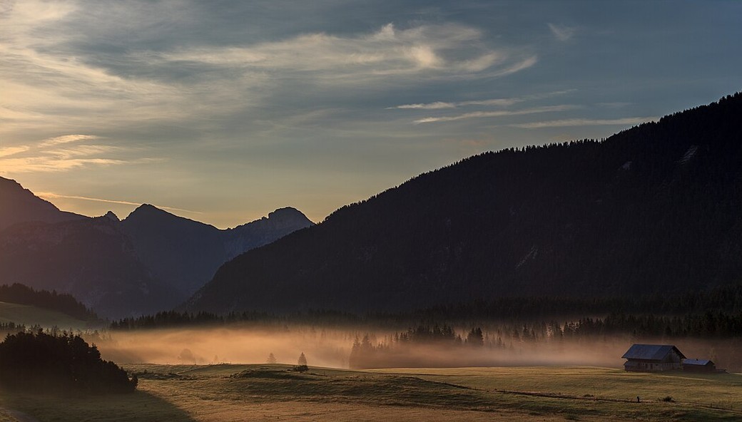
The nature discovery trail on the Plateau des Glières, a very easy waymarked loop with twelve information panels across the high meadows, wetland and forest of the plateau, from the col des Glières car park past the Mémoire du Maquis. The tourist office gives 4 km, 2 hours 30 and 100 m of climb, at about 1,400 m.
Dogs must be kept on a lead: the plateau's brochure asks it because herds and working dogs graze the alpages in summer, and the plateau is a Natura 2000 site whose charter asks the same.
Snow is possible here from December to February.
Estimated from the walk’s high point (1457 m). No tourist board publishes this walk’s season, and every winter is different.
In winter, 1 km of this walk is a cross-country ski track (Les Frêtes, Les Rennes, Liaison Frêtes / Les Rennes). Expect skiers there while the runs are open, usually from December to April (an estimate).
Read off the map (OpenStreetMap).
Col des Glières car park, Route des Glières (official start)
Keep your dog on a lead throughout: cattle and their working dogs graze the plateau in summer, and the Département's alpage notices ask walkers to respect the herds. There is no drinking water on the loop, so bring some; there is a restaurant near the car park. Part of the loop follows a gravel farm track where vehicles may pass. The meadows are open, but about 40% of the walk is in the forest.
The trail rating above describes the mountain, and it's the same for every dog. How it suits yours depends on their build, age and health. See this route's match — scored for a medium dog until you add your own, free and in a minute.
Before you go: the dog safety guide · water for dogs on trail · dogs on cable cars · meeting a guardian dog
