 ORMA
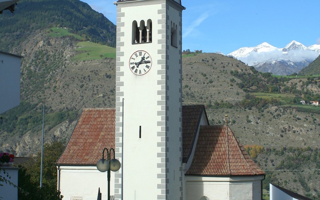
A theme walk above Naturns in the Vinschgau, from Tabland church through birch and pine wood and meadows, with 15 stations on the little “Hinzl” men of local legend, old crafts and farm life, and wide views over the Etsch valley. The official route lists 5.1 km and 233 m of ascent.
Snow is possible here from December to February.
Estimated from the walk’s high point (844 m). No tourist board publishes this walk’s season, and every winter is different.
March to April: pine processionary caterpillars come down from the pines below about 1400 m, and they are a danger to dogs. Keep your dog away from pines and from the caterpillars.
Source: South Tyrol forestry service, reported by il Dolomiti, read on 9 November 2026.
March to June: ticks in the woods below about 1200 m, most of all from late May to mid-June. Check your dog after the walk.
Source: Province of Trento and Fondazione Edmund Mach, read on 9 November 2026.
June to September (an estimate): cows may be out on the pastures. Keep your dog close and give the herds a wide berth.
Source: South Tyrol tourist board, read on 9 November 2026.
June to August: the valleys are hot, with average daily highs of about 30 °C in Bozen. Dogs bear heat badly: walk early in the morning or in the evening, and carry water.
Source: Province of Bolzano weather service, Bozen station temperatures, read on 10 November 2026. Swiss Federal Food Safety and Veterinary Office (BLV), read on 10 November 2026.
December to February (an estimate): the roads and lanes on this walk may be salted when they ice over. Salt hurts dogs’ paws: check them after the walk and rinse them with warm water.
Source: Province of Bolzano weather service, Bozen station temperatures, read on 10 November 2026. German Federal Chamber of Veterinarians, read on 10 November 2026.
Village square by the school and church in Tabland, Citybus 264 (official start)
Directions: From the square by Tabland school and church walk down the road, turn left on the tarmac road waymarked 4 towards the Schleidertal past the Ritz’n Mühle to the shooting range, climb path 4 west through the wood to station 9 (Birkenwald), go east to the Hasler Weide, then follow the “Hinzlweg” waymark down past the Ragoier and Oberwötzel farms to the Tabland road and west back to the start.
From ORMA's route audit of the official route description. Follow the mapped ORMA line and local signs.
Start by the church in Tabland (Citybus 264 from Naturns) and follow road and path 4, then the Hinzlweg signs: 5.1 km, about 230 m of climbing, two hours with the stations. Keep your dog on a short lead (1.5 m at most), carry a muzzle and take water, as there is none on the way. The slope faces south and is dry, so go early or late in summer.
The trail rating above describes the mountain, and it's the same for every dog. How it suits yours depends on their build, age and health. See this route's match — scored for a medium dog until you add your own, free and in a minute.
Before you go: the dog safety guide · water for dogs on trail · dogs on cable cars · meeting a guardian dog
