 ORMA
over the old route of the dead between two Walser villages
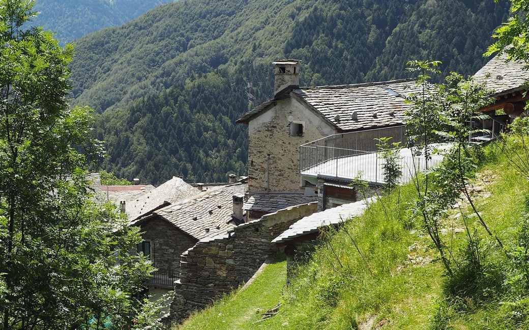
Stage 21 of the GTA, over the ridge from the Walser village of Campello Monti in the Valle Strona to Rimella in the Val Mastallone, by the Alpe Scarpia, the Bocchetta di Campello and the Alpe Pianello. The Region lists 8.6 km, 620 m up and 750 m down, 3 h 15.
Snow is likely here from December to April.
Estimated from the walk’s high point (1919 m). No tourist board publishes this walk’s season, and every winter is different.
Campello Monti (1,305 m), the Region’s start
Start in Campello Monti (1,305 m), the Region’s start, and leave the village heading west on the paved mule track signed GTA for Rimella.
Route: Within half a kilometre pass the branch of path Z99 for the Bocchetta dell’Usciolo, cross the stream on a small concrete bridge (path Z17 for the Capezzone leaves just before it) and climb through mown meadows. Under a cliff reach the Alpe del Vecchio (1,465 m), leave the branch of path Z15A for the Alpe Penninetto on the left and climb the hairpins on a stony slope to the meadows of the Alpe Scarpia (1,698 m). Climb the pastures to the Bocchetta di Campello, also called the Bocchetta di Rimella (1,924 m). Descend to the hollow of the Alpe Pianello (1,801 m), with its CAI hut, drop another 150 m and follow the long traverse past the Alpe Versch, the Alpe Van and the Alpe Selle to the Cappella dei Morti at San Gottardo (Rund, 1,329 m), then walk down to Rimella.
Key turns: No change of path: keep to the GTA signs over the Bocchetta and ignore the branches of paths Z99, Z17, Z15A and the path to Monte Capio.
Start in Campello Monti: 8.6 km one way to Rimella, 620 m up and 750 m down, about 3 h 15; plan how to get back, as there is no public transport between the two valleys. Valstrona asks for more than the national rule: on paths open to the public your dog must be on a lead and wear a muzzle, not just carry one. The CAI hut at the Alpe Pianello is just below the pass. No drinking water is mapped on the way: bring water for your dog.
The trail rating above describes the mountain, and it's the same for every dog. How it suits yours depends on their build, age and health. See this route's match — scored for a medium dog until you add your own, free and in a minute.
Before you go: the dog safety guide · water for dogs on trail · dogs on cable cars · meeting a guardian dog
