 ORMA
high alpages above the Lac de Roselend
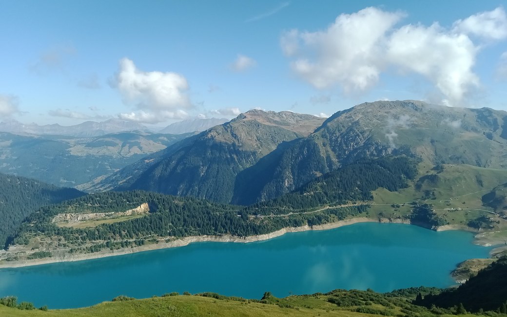
A half-day walk over the high Beaufort alpages from the Plan de la Lai refuge past Plan Mya and La Petite Berge to the ruins of the Grande Berge, with the turquoise Lac de Roselend below. The official page lists 7.4 km, 350 m up and 350 m down, about four hours there and back.
Snow is likely here from November to May.
Estimated from the walk’s high point (2066 m). No tourist board publishes this walk’s season, and every winter is different.
Plan de la Lai refuge on the Cormet de Roselend road, the board’s start
Start at the Plan de la Lai refuge, on the road from the Col du Méraillet to the Cormet de Roselend; park about 20 m past the refuge.
Route: Take the alpage road opposite the refuge and follow the signs for La Grande Berge, up past the Plan Mya refuge to the farm building of La Petite Berge. Carry on along the path to the ruins of the Grande Berge, and climb the grassy knoll on the right for the view over the Lac de Roselend. Come back the same way to the Plan de la Lai.
Key turns: Follow the signs for La Grande Berge throughout. The board notes you can turn back at La Petite Berge to save an hour; the line shown goes on to the Grande Berge.
Drive up from Beaufort past the Roselend dam and the Col du Méraillet to the Plan de la Lai refuge: 7.4 km there and back, 350 m up and down, about four hours. Water at the Plan de la Lai and at the Plan Mya refuge. Open June to the end of September; you can turn back at La Petite Berge to shorten it by an hour.
The trail rating above describes the mountain, and it's the same for every dog. How it suits yours depends on their build, age and health. See this route's match — scored for a medium dog until you add your own, free and in a minute.
Before you go: the dog safety guide · water for dogs on trail · dogs on cable cars · meeting a guardian dog
