 ORMA
the Sassolungo circuit
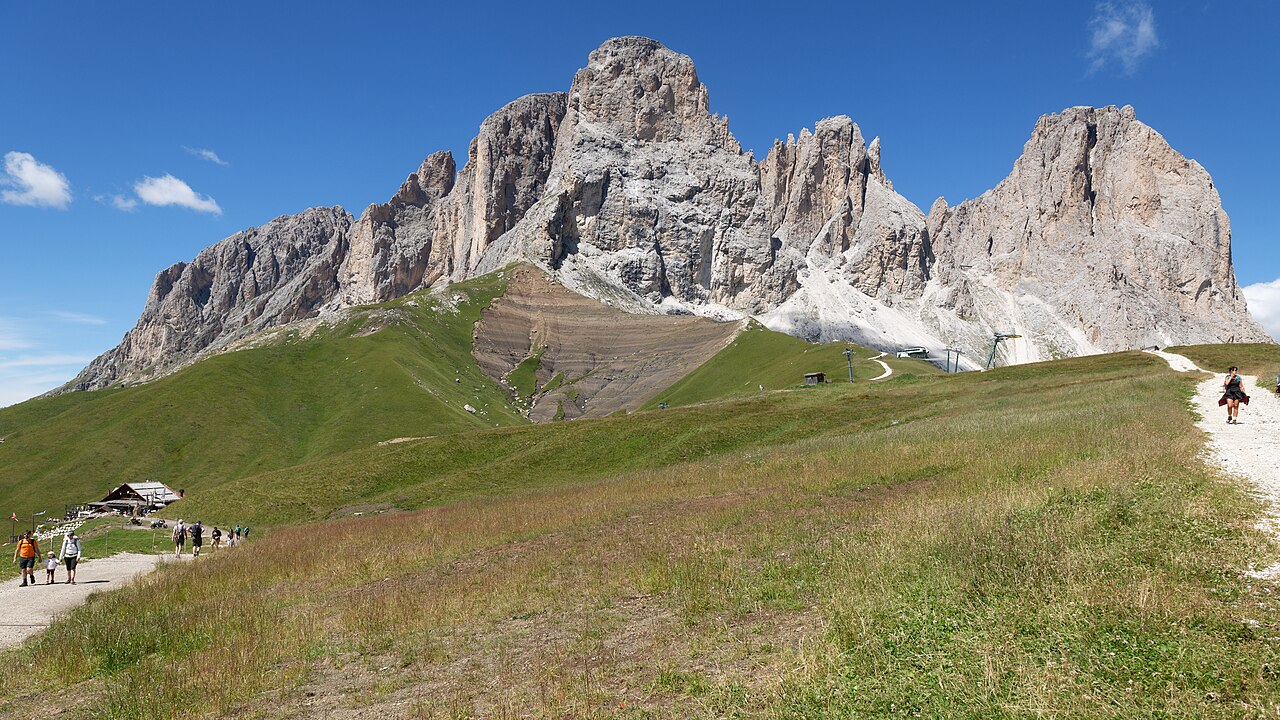
The classic circuit round the Sassolungo from Passo Sella: north past the Città dei Sassi to the Rifugio Comici, under the north and west faces to the Rifugio Sassopiatto, and back along the Friedrich-August-Weg past the Pertini and Federico Augusto huts. APT Val di Fassa gives about 400 m of climb and 5:45 h; IDM Südtirol gives 15.7 km.
Snow is likely here from November to May.
Estimated from the walk’s high point (2326 m). No tourist board publishes this walk’s season, and every winter is different.
Buses 471 and 472 to Passo Sella run only in summer: in 2026 from 7 June to 11 October.
Source: South Tyrol bus timetable (STA open data), read on 12 November 2026.
In winter, 0.8 km of this walk is a ski run (Sef, Gabia, Rodella). Expect skiers there while the runs are open, usually from December to April (an estimate).
Read off the map (OpenStreetMap).
June to September (an estimate): cows may be out on the pastures. Keep your dog close and give the herds a wide berth.
Source: South Tyrol tourist board, read on 9 November 2026.
Start here, Passo Sella, paid parking lot behind Hotel Passo Sella
Start at Passo Sella, by the Rifugio Passo Sella (Passo Sella Dolomiti Mountain Resort) at 2,183 m, the APT’s start; paid parking behind it.
Trail numbers and route: Head north on the wide path past the edge of the Città dei Sassi boulder field and a couple of ski lifts to the Rifugio Comici (about 45 minutes). Carry on under the north face of the Sassolungo on the path across the scree to the Piz Ciaulong (Col de Mesdì) above Santa Cristina, then south-west to the mouth of the valley up to the Rifugio Vicenza. Do not go up it: at the junction keep right across the scree and join path 527, which drops to the meadow balcony of the Piz da Uridl and goes round the west side of the Sassopiatto to the Rifugio Sassopiatto at the Giogo di Fassa (about 3 hours from Comici). From there take the Friedrich-August-Weg (557) east under the Punta Grohmann, up and down past the Rifugio Pertini and the Rifugio Federico Augusto to the Forcella Rodella, and back down to Passo Sella (about 2 hours).
Where to switch: At the Rifugio Comici keep on the path under the Sassolungo (526/526A); at the junction below the Rifugio Vicenza keep right across the scree onto 527, not up the valley; at the Rifugio Sassopiatto turn east onto the Friedrich-August-Weg (557, signed 594 on the Trentino side), not up the summit path; at the Forcella Rodella keep down to Passo Sella.
A long day round the Sassolungo from Passo Sella: 15.7 km, about 400 m of climb by the APT’s count (nearer 750 m with all the ups and downs), 5:45 h. Go the APT’s way round, north to the Comici hut first. Start early, carry water for the first 7 km, keep your dog on a lead of at most 1.5 m with a muzzle carried, and give the cattle on the Seiser Alm room. At the Rifugio Sassopiatto take the Friedrich-August-Weg east, not the summit path.
The trail rating above describes the mountain, and it's the same for every dog. How it suits yours depends on their build, age and health. See this route's match — scored for a medium dog until you add your own, free and in a minute.
Before you go: the dog safety guide · water for dogs on trail · dogs on cable cars · meeting a guardian dog
