 ORMA
through the pastures of Giovanchera and Pianelli
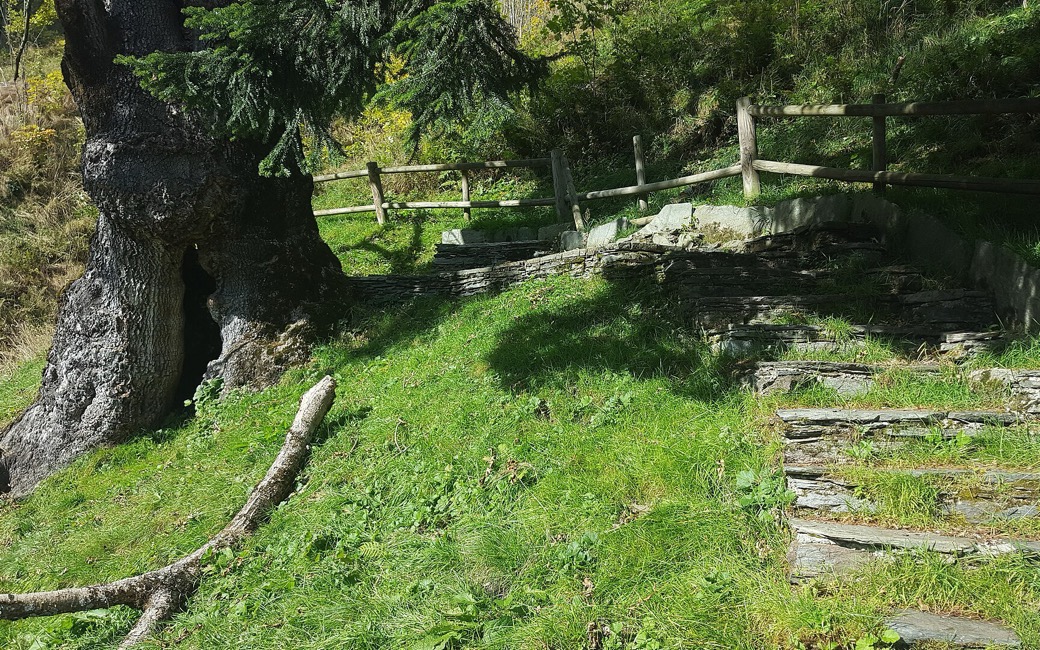
A loop from Carcoforo, the “Giro del Ginepro”, up through hamlets and pastures to the Alpe Giovanchera, across through larch woods to the Alpe Pianelli, and back down past the Cappella delle Torbe and its 250-year-old ash tree. The park authority lists 6 km, 500 m up, 3 h 45.
Snow is likely here from December to April.
Estimated from the walk’s high point (1805 m). No tourist board publishes this walk’s season, and every winter is different.
The square in Carcoforo (1,304 m), the park authority’s start
Start from the square in Carcoforo (1,304 m), the park authority’s start.
Trail numbers and route: Cross the Egua stream and follow the road, which turns to gravel after the hamlet of Selva Bruna, sharing a stretch with paths 112 and 113. Pass Le Coste and climb to the Alpe Pasqué (1,434 m), the Alpe Sulla Selva (1,597 m) and the wide pasture of Giovanchera Bella (1,703 m). From there traverse through larch woods, on unnumbered but clear marks, to the Alpe Pianelli and the Alpe Passone (1,752 m). Take path 121 down to the Alpe Bruc (1,500 m), where it joins the GTA, and on past the Cappella delle Torbe and its old firs and ash tree back to Carcoforo.
Where to switch: Two changes: at Giovanchera Bella leave the numbered path for the marked traverse to the Alpe Passone; at the Alpe Passone take path 121 down, shared with the GTA from the Alpe Bruc.
Start from the square in Carcoforo: a 6 km loop with 500 m up, about 3 h 45. Keep your dog on a lead through the pastures and carry a muzzle. No drinking water is mapped on the way: bring water for your dog.
The trail rating above describes the mountain, and it's the same for every dog. How it suits yours depends on their build, age and health. See this route's match — scored for a medium dog until you add your own, free and in a minute.
Before you go: the dog safety guide · water for dogs on trail · dogs on cable cars · meeting a guardian dog
