 ORMA
ORMA
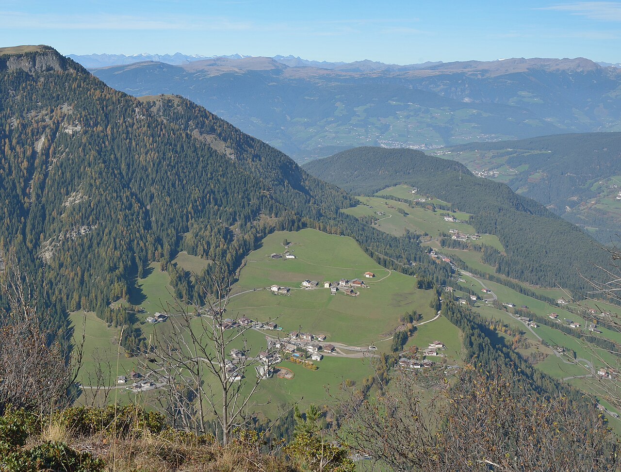
A real, GPS-verified geological education trail between Passo Pinei and the village of Bulla, 8 information panels explain how the Dolomites formed, including a spot where you physically cross the 252-million-year-old Permian-Triassic boundary. Confirmed dog-friendly (leashed, off-leash in some areas) by multiple independent trail guides.
Start here, Passo Pinei (Panider Sattel), near Hotel Panider Sattel
Do not rely on potential water locations being available or drinkable. Carry enough for the full walk.
Reachable by bus (line 172) from Ortisei, or park at Passo Pinei. Best June through October. Moderate terrain with some real ascent/descent, not the flattest option on this list, but not technical either.
The trail rating above describes the mountain, and it's the same for every dog. How it suits yours depends on their build, age and health. See this route's match — scored for a medium dog until you add your own, free and in a minute.
Before you go: the dog safety guide · water for dogs on trail · dogs on cable cars · meeting a guardian dog
