 ORMA
the level irrigation-channel path through the woods above Gais
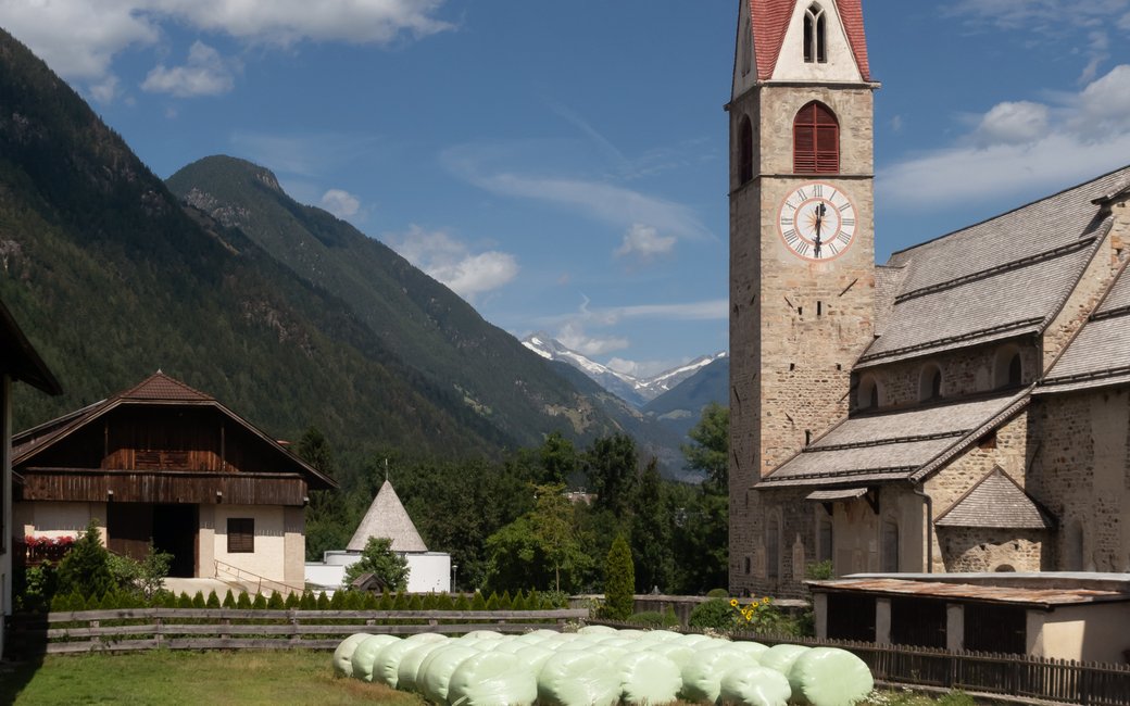
A loop from Gais along an old irrigation channel through the forest and back across meadows and fields, with views of the mountains round the Tauferer valley. The board lists 5.3 km and 140 m of ascent.
Recommended from March to October.
Source: Outdooractive, read on 6 November 2026.
March to June: ticks in the woods below about 1200 m, most of all from late May to mid-June. Check your dog after the walk.
Source: Province of Trento and Fondazione Edmund Mach, read on 9 November 2026.
The parish church of Gais, the board’s start
This walk has no trail number of its own: follow these landmarks
Start at the parish church of Gais, the board’s start; bus 450 from Brunico stops at Gais, Paese.
Directions: Bruneck Kronplatz Tourismus, checked 30 October 2026.
Start at the parish church of Gais: a 5.3 km loop, about 140 m of climbing, two hours. Keep your dog on a lead of at most 1.5 m and carry a muzzle, keep it out of the channel and off the meadows. Water and cafés in Gais.
The trail rating above describes the mountain, and it's the same for every dog. How it suits yours depends on their build, age and health. See this route's match — scored for a medium dog until you add your own, free and in a minute.
Before you go: the dog safety guide · water for dogs on trail · dogs on cable cars · meeting a guardian dog
Planning a few days here? Read our area guide: Lago di Braies & Tre Cime with a dog.
