 ORMA
a long forest-and-pasture loop below Passo del Tonale
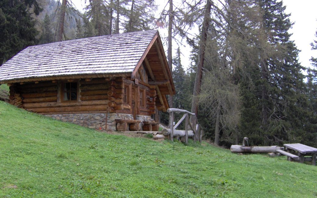
A long loop from Forte Strino on forest roads and paths to the Bait de Mezòl, Malga Verniana and Malga Saviana, high above the upper Val di Sole. The board lists 14.8 km and 837 m up.
Recommended from June to October.
Source: Outdooractive, read on 10 November 2026.
June to September (an estimate): cows may be out on the pastures. Keep your dog close and give the herds a wide berth.
Source: South Tyrol tourist board, read on 9 November 2026.
The car park by Forte Strino, beside the SS42, the board’s start
Start at the car park by Forte Strino (1,500 m), beside the SS42 below Passo del Tonale, the board’s start.
Trail numbers and route: Follow SAT path 137 towards Malga Strino. Near the bridge over the Rio Strino, turn right onto the forest road signed “Masi di Strino” and “Bait de Mezòl”, and climb to the Bait de Mezòl (1,880 m), a hut used by shepherds and hunters. Carry on along the forest road through thick forest, then on a path, to Malga Verniana (1,838 m). From the malga follow a path and then a forest road towards Malga Saviana (1,917 m). There take SAT path 126/B down; just above the SS42, turn onto the forest road that climbs gently back to Forte Strino.
Where to switch: SAT 137 from Forte Strino towards Malga Strino; right at the Rio Strino bridge onto the forest road to the Bait de Mezòl; forest road and path to Malga Verniana; path and forest road to Malga Saviana; SAT 126/B down; forest road above the SS42 back to Forte Strino.
Start at the car park by Forte Strino on the SS42: 14.8 km and 837 m up, about 5 hours, as the board lists. For fit dogs only; there is water on the way, but carry some for the first climb.
The trail rating above describes the mountain, and it's the same for every dog. How it suits yours depends on their build, age and health. See this route's match — scored for a medium dog until you add your own, free and in a minute.
Before you go: the dog safety guide · water for dogs on trail · dogs on cable cars · meeting a guardian dog
