 ORMA
a wooded loop on Monte Enna to a First World War fort, with views over the Val Leogra
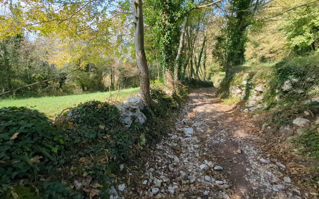
A wooded loop on Monte Enna above the Val Leogra to Forte Enna, a First World War fort now in ruins, and back down past old hamlets with views over the valley. The board lists 9.4 km and 368 m up.
Recommended all year.
Source: Outdooractive, read on 21 November 2026.
Winter sun: On the shortest day the sun reaches this walk for about 6.5 hours.
Worked out from the terrain alone (AWS Terrain Tiles): trees, buildings and weather are not counted.
The square in Enna by the church of San Giovanni Battista, Torrebelvicino, the published start
Start on the square in Enna, above Torrebelvicino, by the church of San Giovanni Battista and the Ai Combattenti bar, the published start.
Route: Walk up through Contrada Sberze and along Strada degli Sberze, then take the gravel track signed for the Sentiero panoramico Val Leogra (paths 31 and 33) past the crosses of Contrada Soglio-Corà, Contrada Garbini and Contrada Cappelletto. Follow Strada delle Giare and a short path into the wood, then the track signed 33 and S3 up Monte Enna to Forte Enna, the fort built in 1910–12. Walk back down the same track for about 700 m, past the old barracks and the Forte Enna cave, then follow the S. Caterina – M. Enna track down, cross the lane and take the track back to Contrada Maule and the square in Enna.
Key turns: Contrada Sberze and Strada degli Sberze from the square in Enna; gravel track of the Sentiero panoramico Val Leogra (paths 31 and 33) past three wayside crosses; Strada delle Giare and a short path into the wood; track 33/S3 up Monte Enna to Forte Enna; back down the same track past the old barracks; S. Caterina – M. Enna track down; across the lane and the track to Contrada Maule and Enna.
Start on the square in Enna above Torrebelvicino: 9.4 km and 368 m up, about 3 hours, as the board lists. The south-west slope gets good sun, so the board says it is walkable all year; read about the fort on the Torrebelvicino Pro Loco site first, and check whether the trattoria in Enna is open for a meal at the end.
The trail rating above describes the mountain, and it's the same for every dog. How it suits yours depends on their build, age and health. See this route's match — scored for a medium dog until you add your own, free and in a minute.
Before you go: the dog safety guide · water for dogs on trail · dogs on cable cars · meeting a guardian dog