 ORMA
hillside loop to the Batteries Hautes above Grenoble
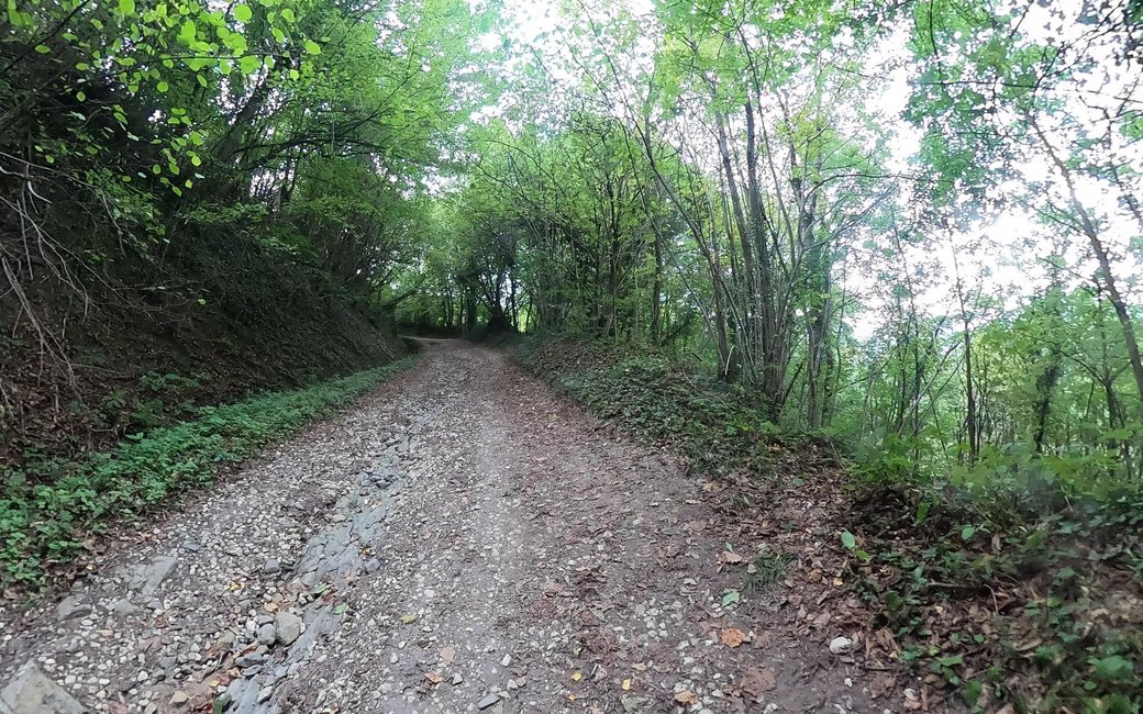
A short family loop above Gières through the hamlets of Le Murier and Le Bigot to the ruins of the Batteries Hautes, with views over the Vercors and Grenoble, and back down through the woods by the Col du Courlu. The official page lists 4.2 km, 152 m up and down, about 2 h.
Snow is possible here from December to February.
Estimated from the walk’s high point (577 m). No tourist board publishes this walk’s season, and every winter is different.
Fort du Murier car park above Gières, the board’s start
Start at the Fort du Murier car park, on the hill above Gières.
Route: Turn right out of the car park and walk down towards the hamlet of Le Murier, past the leisure centre. At the crossroads turn right towards Les Collodes, then at the next junction go left up the road towards Le Bigot. At the top of the climb leave the road on the left and carry on along the path, then walk through the hamlet of Le Bigot. In the bend at the end of the hamlet take the path on the right; at its end cross the road and follow the broad track to the Batteries Hautes, with picnic tables and a view over the Vercors and Grenoble. Walk along the ruins and take the path down through the forest to the Col du Courlu, then turn left down the sunken lane towards Les Combettes to a track along the meadows and down to Le Murier. Back at the crossroads by the D 112, walk up to the car park the way you came.
Key turns: Right out of the car park; right at the crossroads for Les Collodes; left up towards Le Bigot; right in the bend after Le Bigot; left at the Col du Courlu towards Les Combettes; back up from the D 112 crossroads.
Park at the Fort du Murier car park above Gières: 4.2 km round, 152 m up and down, about 2 h. Open all year; picnic tables at the Batteries Hautes.
The trail rating above describes the mountain, and it's the same for every dog. How it suits yours depends on their build, age and health. See this route's match — scored for a medium dog until you add your own, free and in a minute.
Before you go: the dog safety guide · water for dogs on trail · dogs on cable cars · meeting a guardian dog