 ORMA
up the young Isère to the Pont des Cognons
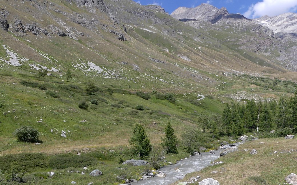
A short loop from the old hamlet of Le Fornet above Val d’Isère, up the farm track beside the young Isère to the Pont des Cognons and back along the forest edge past the Fornet waterfall. The official page lists 3.7 km, 204 m up and 204 m down, about 1 h 45.
Snow is likely here from November to May.
Estimated from the walk’s high point (2109 m). No tourist board publishes this walk’s season, and every winter is different.
In winter, 0.7 km of this walk is a ski run (Forêt, Mangard, Cognon). Expect skiers there while the runs are open, usually from December to April (an estimate).
Read off the map (OpenStreetMap).
Fountain in the hamlet of Le Fornet, the board’s start
Start at the fountain in the hamlet of Le Fornet, above Val d’Isère on the road to the Col de l’Iseran.
Route: From the fountain turn left for about 30 m, then right in front of the Chalet la Cascade, climbing gently, and after about 20 m turn left again. Follow the farm track along the left bank of the Isère up to the Pont des Cognons. At the path junction on the edge of the forest keep right to reach the Fornet waterfall, then walk back down to the village.
Key turns: Three turns in the first 50 m from the fountain (left, right at the Chalet la Cascade, left again), then keep right at the junction by the forest edge for the waterfall.
Le Fornet is the last hamlet above Val d’Isère on the road to the Col de l’Iseran: 3.7 km round, 204 m up and down, about 1 h 45. Open June to the end of October, depending on snow.
The trail rating above describes the mountain, and it's the same for every dog. How it suits yours depends on their build, age and health. See this route's match — scored for a medium dog until you add your own, free and in a minute.
Before you go: the dog safety guide · water for dogs on trail · dogs on cable cars · meeting a guardian dog
