 ORMA
the short path to the Fontanon di Goriuda waterfall
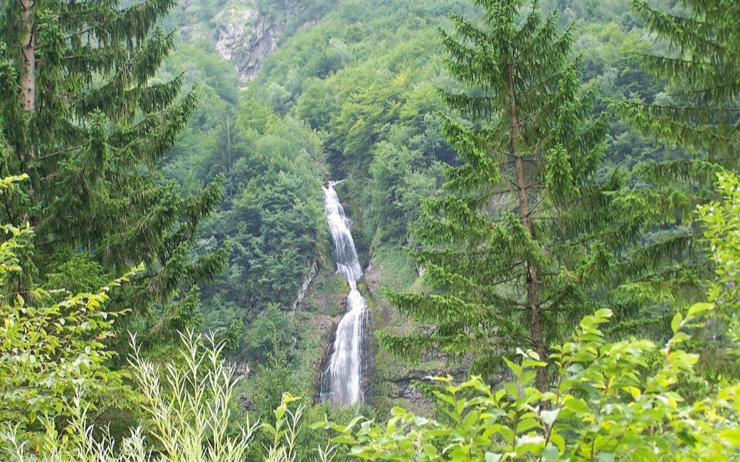
A very short loop from Pian della Sega through beech forest to the Fontanon di Goriuda, a waterfall where a karst spring of Monte Canin bursts from the rock, and back beside the stream. PromoTurismoFVG lists 0.6 km and 50 m of ascent.
Recommended from March to November.
Source: Outdooractive, read on 7 November 2026.
Pian della Sega car park, Val Raccolana, the board’s start
Directions: No route number given: from the car park at Pian della Sega (ruins of a Great War infirmary) along the tarred road to the edge of the forest, then right on the path that climbs gently through beech wood to the waterfall in about ten minutes. Back at the information panel another path leads down beside the stream past smaller falls to Pian della Sega in about five minutes.
From ORMA's route audit of the official route description. Follow the mapped ORMA line and local signs.
Park at Pian della Sega in the Val Raccolana (bus 191 from Chiusaforte or Sella Nevea): 0.6 km and about 50 m of climbing, a quarter of an hour. Keep your dog on a lead at the car park and on the road, and carry a muzzle. In winter the path is icy.
The trail rating above describes the mountain, and it's the same for every dog. How it suits yours depends on their build, age and health. See this route's match — scored for a medium dog until you add your own, free and in a minute.
Before you go: the dog safety guide · water for dogs on trail · dogs on cable cars · meeting a guardian dog
