 ORMA
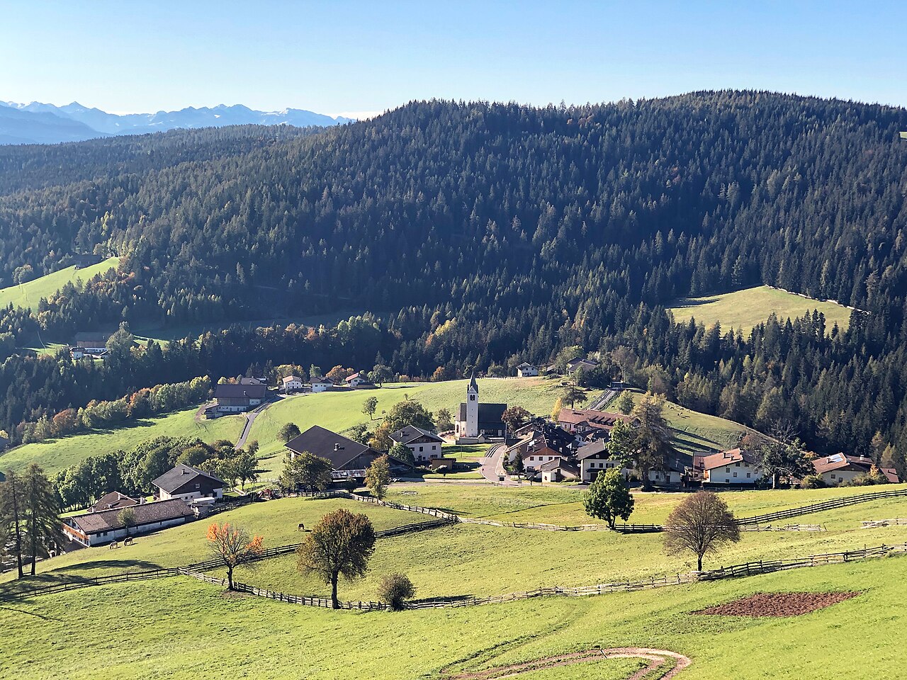
A 5 km loop round the hamlet of Flaas on the Tschögglberg above Jenesien, through fenced meadows, past farmsteads and the Leitlkeller inn, and back through spruce forest. About 200 m of up and down, between 1,330 and 1,520 m, in about 1¾ hours, as measured by ORMA (no official figure).
Jenesien's dog regulation requires a lead of at most 1.5 m on all public ground, inside and outside the village, and owners must carry a muzzle. Dogs are not allowed on farmed meadows during the growing season, so keep to the path where it crosses them.
Snow is possible here from December to February.
Estimated from the walk’s high point (1522 m). No tourist board publishes this walk’s season, and every winter is different.
June to September (an estimate): cows may be out on the pastures. Keep your dog close and give the herds a wide berth.
Source: South Tyrol tourist board, read on 9 November 2026.
Start here — Parking, 10 m from the route
Start at the small car park on the Lanzenweg above Flaas, where the loop begins on the map. This is ORMA’s reading of the map: no operator publishes directions for this loop.
Route: Walk a few metres west along the Lanzenweg, then take the path down across the meadows to meet the Lanzenweg again. Follow the road down past the Neuhaus farms, where for about 300 m the loop shares path 8, to the Kreuzer wayside shrine at the top of Flaas. Turn left onto the Kampidellerweg and follow it east, then keep on the farm track past the Leitlkeller inn (about km 1.9). Where the track bends back north, take the path north through the wood to the Aisl farms, cross the Kampideller Weg and follow the track and path north-west through the wood back to the car park. Read off the province trail register’s line and OpenStreetMap, not from directions an operator published.
Key turns: Left onto the Kampidellerweg at the Kreuzer shrine in Flaas; onto the farm track past the Leitlkeller where the road ends; north onto the woodland path where the track bends back; across the Kampideller Weg at Aisl, then north-west back to the car park.
Keep your dog on a short lead (1.5 m at most) and carry a muzzle, as Jenesien requires, and keep off the meadows; horses graze in the fenced pastures. About 1.2 km follows quiet public roads. The only tap is by Flaas church, about 160 m off the loop. The first stretch over the meadows is open; most of the second half is in forest.
The trail rating above describes the mountain, and it's the same for every dog. How it suits yours depends on their build, age and health. See this route's match — scored for a medium dog until you add your own, free and in a minute.
Before you go: the dog safety guide · water for dogs on trail · dogs on cable cars · meeting a guardian dog
