 ORMA
the climb from the Fischleintal to the Sextner Stein below the Drei Zinnen
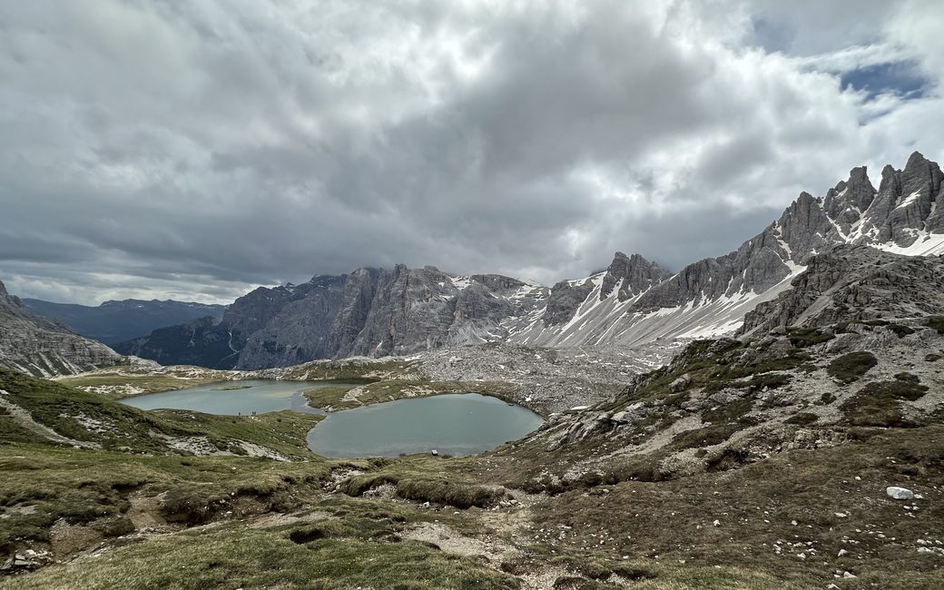
A long high walk from the Fischleintal up the Altensteintal to the Sextner Stein facing the Drei Zinnen, and back. The board lists 16.6 km and 1,071 m of ascent, there and back.
Recommended from May to October.
Source: Dolomites 3 Zinnen tourist board, read on 6 November 2026.
The Talschlusshütte (Rifugio Fondovalle) is open from about 22 May to about 20 October and from about 25 December to about 28 March (summer 2026, winter 2026/27 dates).
Source: talschlusshuette.com, read on 11 November 2026.
In winter, 0.7 km of this walk is a cross-country ski track. Expect skiers there while the runs are open, usually from December to April (an estimate).
Read off the map (OpenStreetMap).
Fischleinboden car park, Fischleintal, the board’s start
This walk has no trail number of its own: follow these landmarks
Start at the car park by the Fischleinbodenhütte in the Fischleintal, the tourist board’s start; reached by car or bus from Sexten or Moos.
Directions: Tre Cime Dolomites tourist board, checked 2 November 2026.
Start at the Fischleinboden car park in the Fischleintal: 16.6 km there and back with over 1,000 m of climbing, six and a half hours. Keep your dog on a lead of at most 1.5 m and carry a muzzle. Start early, carry water, and keep your dog close in the crowds at the Dreizinnenhütte.
The trail rating above describes the mountain, and it's the same for every dog. How it suits yours depends on their build, age and health. See this route's match — scored for a medium dog until you add your own, free and in a minute.
Before you go: the dog safety guide · water for dogs on trail · dogs on cable cars · meeting a guardian dog
Planning a few days here? Read our area guide: Lago di Braies & Tre Cime with a dog.
