 ORMA
the loop from Dordolla to the old beeches of Pustot
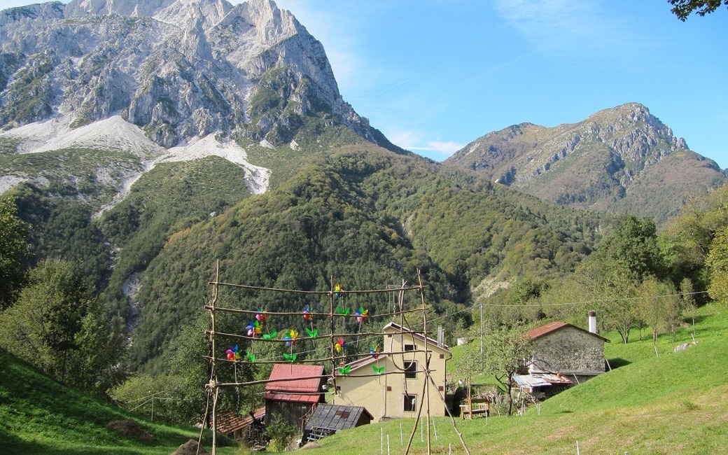
A loop from the hilltop village of Dordolla in the Val Aupa up to the centuries-old beeches of Pustot and back on the valley’s old mule tracks. PromoTurismoFVG lists 4.9 km and 395 m of ascent.
Recommended from March to October.
Source: Outdooractive, read on 7 November 2026.
Dordolla village, Val Aupa, the board’s start
Directions: Blue markers from Dordolla, no route number given: along the old road that linked the villages to the hamlet of Drentus, where the climb starts; a steady ascent to Pustot and its centuries-old beeches; down to Dordolla on the old tracks the valley’s people used to reach their hayfields and summer pastures. A short detour from Dordolla leads to the Spissande waterfall.
From ORMA's route audit of the official route description. Follow the mapped ORMA line and local signs.
Start in Dordolla, at the end of the Val Aupa road (few free parking places): 4.9 km and about 400 m of climbing, two hours and twenty minutes. Keep your dog on a lead in the village and carry a muzzle. The old tracks are steep and slippery after rain. Spring and autumn are the best seasons.
The trail rating above describes the mountain, and it's the same for every dog. How it suits yours depends on their build, age and health. See this route's match — scored for a medium dog until you add your own, free and in a minute.
Before you go: the dog safety guide · water for dogs on trail · dogs on cable cars · meeting a guardian dog
