 ORMA
Chartreuse village loop along the Couzon
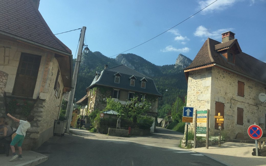
A loop around Saint-Pierre-de-Chartreuse through meadows, hamlets and forest past the Chapelle du Rosaire, then down along the Couzon stream by its footbridges and back by the orchid path. The official page lists 7 km, 310 m up and down, about 2 h 30.
Snow is possible here from December to February.
Estimated from the walk’s high point (1137 m). No tourist board publishes this walk’s season, and every winter is different.
Plan de Ville in the centre of Saint-Pierre-de-Chartreuse, the board’s start
Start at the Plan de Ville, in the centre of Saint-Pierre-de-Chartreuse beside the tourist office.
Route: Walk between the tourist office and the pizzeria to the Place de la Mairie and take the Perquelin road past the Parking du Bourg to the Croix Saint-Claude. Climb the path on the left past old barns, carry straight on along the balcony path at the Sentier des Amoureux to the Chapelle du Rosaire, then turn right up through the meadows between dry-stone walls to Le Paquet. Turn left on the track, carry straight on down the tarmac road to Cochatière, turn right through the hamlet and climb into the forest at the Le Batour signpost. Follow the forest track to the Télésiège du Batour signpost (the lift is gone) and on past a timber yard to the Combe de l’Ours chairlift; opposite it take the steep path down through the forest, cross the road, pass behind the gîte and cross the footbridge to Champ Massot. Go down to the Sentier du Col des Aures, cross the footbridge and follow the Couzon stream by several footbridges to La Coche. Turn right through the hamlet to Merlatière, go down between the houses and over a little footbridge, then left down the orchid path to the road and on to Patassière; turn right to Carlinière, then left down the little valley, cross the Couzon by a small bridge and climb through the Bois des Lièvres back to the Plan de Ville.
Key turns: Left up the path at the Croix Saint-Claude; right at the Chapelle du Rosaire; left at Le Paquet; right through Cochatière; down opposite the Combe de l’Ours chairlift; right at La Coche; left down the orchid path after Merlatière; right at Patassière; left down the valley at Carlinière.
Park at the Plan de Ville or the Parking du Bourg in Saint-Pierre-de-Chartreuse, or come by the T40 bus from Grenoble (stop Plan de Ville): 7 km round, 310 m up and down, about 2 h 30. Open 1 April to 31 October.
The trail rating above describes the mountain, and it's the same for every dog. How it suits yours depends on their build, age and health. See this route's match — scored for a medium dog until you add your own, free and in a minute.
Before you go: the dog safety guide · water for dogs on trail · dogs on cable cars · meeting a guardian dog