 ORMA
down through the Latemar forest to the Karersee
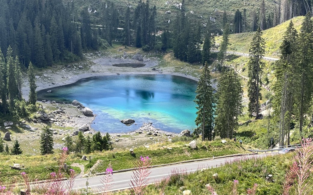
A gentle walk from Passo Costalunga through the Latemar forest, known for its resonance spruce, down to the emerald Lago di Carezza under the Latemar and Catinaccio. The board lists 4.4 km, 18 m up and 225 m down.
Recommended from May to October.
Source: Outdooractive, read on 6 November 2026.
Passo Costalunga (Karerpass), by the Antermont restaurant, the board’s start
Start at Passo Costalunga (Karerpass), by the Antermont restaurant, the board’s start; buses 180 and 184 stop at the pass.
Trail numbers and route: Walk past the Antermont restaurant and across a meadow to path 21. Follow 21 to the junction with path 13, then take 13, a comfortable forest road through the Latemar forest, to path 10, which leads straight down to the Lago di Carezza.
Where to switch: Two turns: at the junction with path 13 leave 21 for 13, and where 13 meets path 10 take 10 to the lake.
Start at Passo Costalunga by the Antermont restaurant: 4.4 km one way, mostly downhill (18 m up, 225 m down), about an hour. Keep your dog on a lead of at most 1.5 m, carry a muzzle and keep off the meadows. No drinking water on the way: bring water for your dog. Buses 180 and 184 link the lake and the pass if you do not want to walk back up.
The trail rating above describes the mountain, and it's the same for every dog. How it suits yours depends on their build, age and health. See this route's match — scored for a medium dog until you add your own, free and in a minute.
Before you go: the dog safety guide · water for dogs on trail · dogs on cable cars · meeting a guardian dog
