 ORMA
the loop from Claut up the Col dei Piais
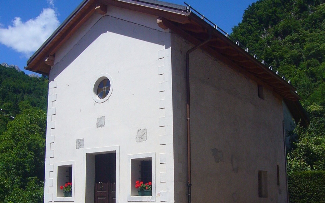
A short loop from Claut up the wooded Col dei Piais to the little chapel of San Gualberto, with views over the village and the Friulian Dolomites. PromoTurismoFVG lists 4.9 km and 285 m of ascent.
Snow is possible here from December to February.
Estimated from the walk’s high point (834 m). No tourist board publishes this walk’s season, and every winter is different.
Conca Verde, Claut, the board’s start
Directions: Path 385: from the Conca Verde in Claut (606 m) along the Ciàdula stream and through the village to the chapel of San Rocco; take the road to its right, ignore path 384 and climb the tarred road over the bridge on the Ciafurle; at the second hairpin take path 385 on the left (660 m) to Stalla Piais (773 m), on along the slope to a three-way junction, right up to a saddle (840 m) and to the summit of the Col dei Piais (876 m) with the chapel of San Gualberto. Back to the saddle, then right on path 385 down to the tarred road and into Claut, and from San Rocco the way you came.
From ORMA's route audit of the official route description. Follow the mapped ORMA line and local signs.
Start at the Conca Verde in Claut: 4.9 km and about 285 m of climbing, under two hours. Keep your dog on a lead of at most 1.5 m in the village and carry a muzzle. Bring water for the climb.
The trail rating above describes the mountain, and it's the same for every dog. How it suits yours depends on their build, age and health. See this route's match — scored for a medium dog until you add your own, free and in a minute.
Before you go: the dog safety guide · water for dogs on trail · dogs on cable cars · meeting a guardian dog
