 ORMA
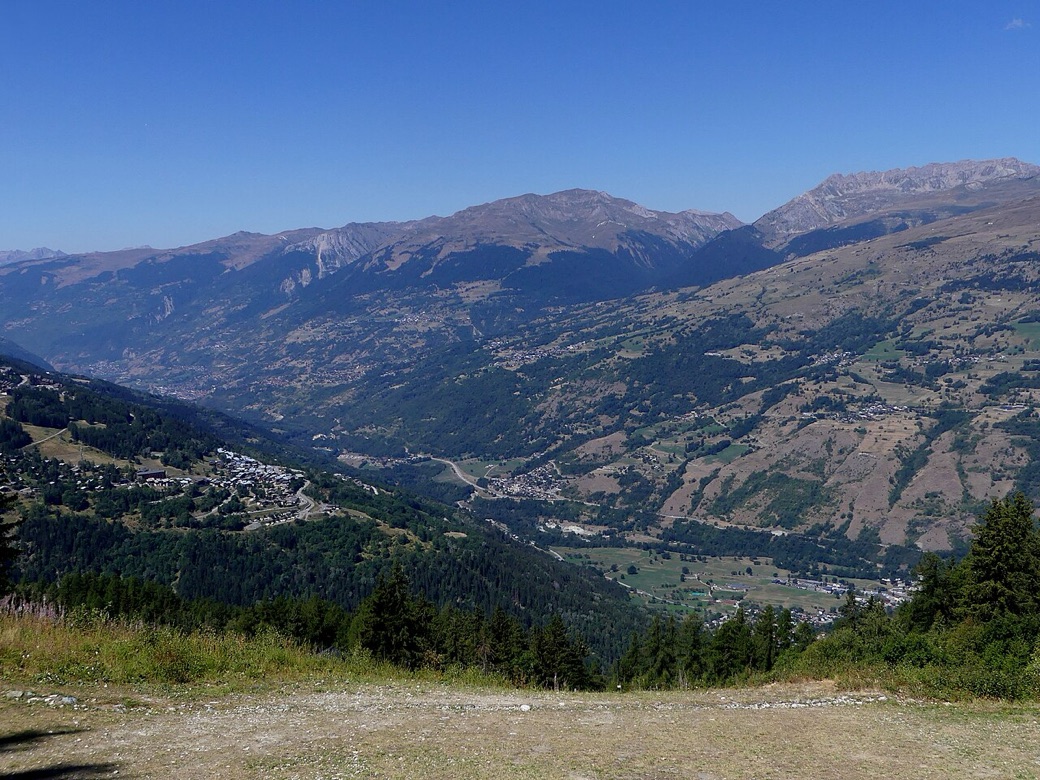
A forest loop climbing from Landry church to the Ragairon chalet and the hamlet of Les Charmettes above the Tarentaise: follow the GR5 signs, then those of the Circuit de Ragairon, past Le Martorey and the Charbonnet stream. The tourist office rates it difficult and gives 731 m of climb and 4 hours 30; its page says 8.4 km, while its own GPS track, which walks the first 1.4 km out and back, measures 9.9 km. Most of it is in the woods.
There is no specific dog rule on this walk and no protected area; French law forbids letting dogs stray, and requires a lead off the paths in woods and fields from 15 April to 30 June.
Snow is possible here from December to February.
Estimated from the walk’s high point (1560 m). No tourist board publishes this walk’s season, and every winter is different.
Free car park by the Saint-Michel church, Landry (official start)
This walk has no trail number of its own: follow these landmarks
Start at the Saint-Michel church in Landry, where there is a free car park; the tourist office’s start.
Directions: Office de Tourisme de Peisey-Vallandry, checked 30 October 2026.
Keep your dog close and on a lead near Les Charmettes, where the tourist office says cows often graze. The climb is long but mostly shaded. There is drinking water at the start; the tap at Les Charmettes is marked not drinkable, so carry water. Watch for farm and ski-service vehicles on the tracks, and for paragliders taking off at Les Charmettes.
The trail rating above describes the mountain, and it's the same for every dog. How it suits yours depends on their build, age and health. See this route's match — scored for a medium dog until you add your own, free and in a minute.
Before you go: the dog safety guide · water for dogs on trail · dogs on cable cars · meeting a guardian dog
