 ORMA
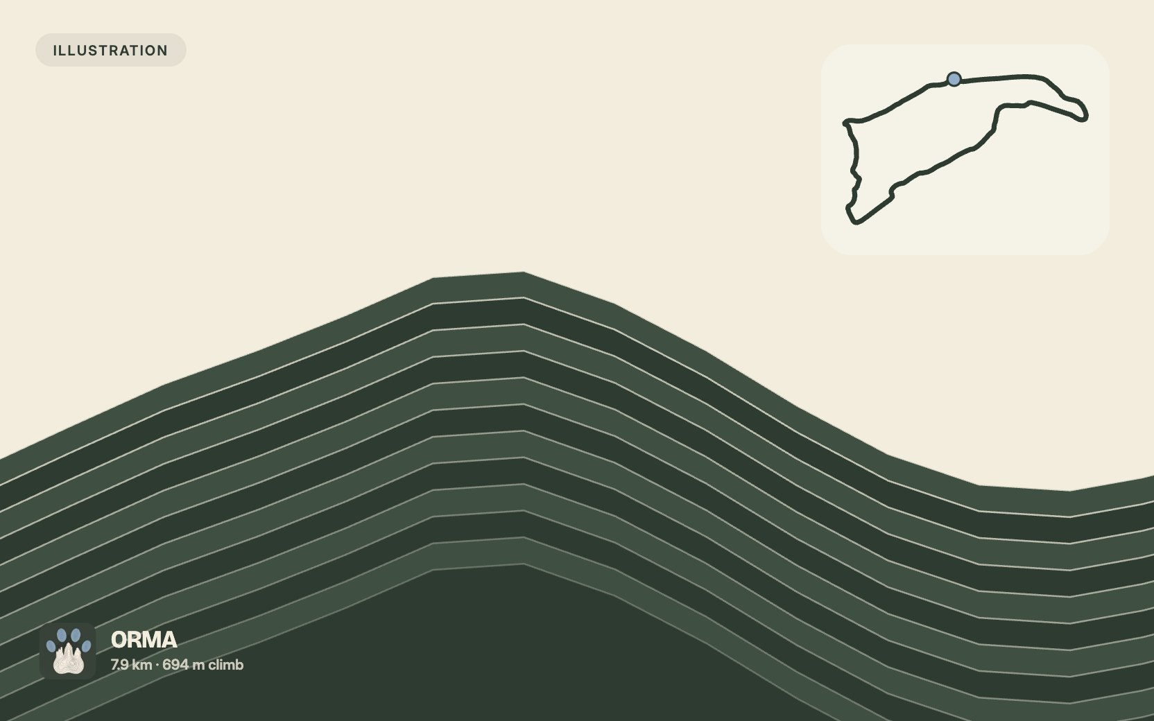
A 7.9 km loop near Valloire, imported from the OpenStreetMap hiking network. Passed automated dog-suitability screening: no via ferrata, ladders, or alpine-grade (T3+) sections on record. Direction shown climbs more gradually (computed from elevation data).
Snow is likely here from November to May.
Estimated from the walk’s high point (2541 m). No tourist board publishes this walk’s season, and every winter is different.
Suggested start, best parking/access not yet verified. Check current access before travelling.
Start where the route begins, marked on the map. No car park or bus stop has been confirmed nearby. Check current access before travelling.
Trail numbers: The mapped route carries trail numbers 17, 24; look for them at junctions. ORMA has not confirmed how they appear on local signs.
Trail numbers and route: This walk carries no route number of its own. The mapped route runs along numbered trails 17, 24 and then 17, in that order from the start.
Where to switch: The mapped route runs along numbered trails 17 and 24 and 17 throughout, with no change of number recorded along it.
The start and the trail numbers are ORMA’s suggestion. The route and where to switch are read off the map (OpenStreetMap). None of it was published by the trail’s operator.
Do not rely on potential water locations being available or drinkable. Carry enough for the full walk.
Imported route, elevation, distance, mapped fountains and rifugi come from OpenStreetMap data. This trail has not been field reviewed by ORMA; exposure, shade, livestock and current conditions remain unknown. Check conditions locally.
The trail rating above describes the mountain, and it's the same for every dog. How it suits yours depends on their build, age and health. See this route's match — scored for a medium dog until you add your own, free and in a minute.
Before you go: the dog safety guide · water for dogs on trail · dogs on cable cars · meeting a guardian dog