 ORMA
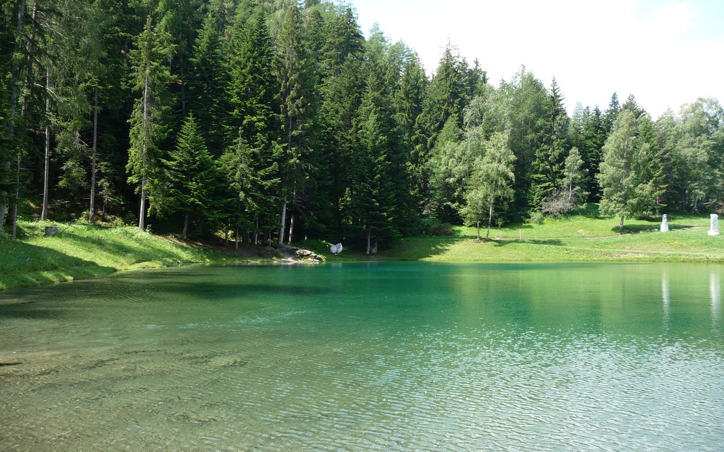
A short loop from the Avenières leisure base in La Norma, climbing through spruce and larch on the forest steps that give the walk its name and coming back past the turquoise snow-making pond. It shares its paths with PR and GR waymarks. Officially 3.1 km and 180 m of climb, about 45 minutes, open from mid-May to mid-October.
Dogs are accepted, and the La Norma tourist office asks that they stay on a lead out of respect for wildlife. No protected area touches the loop. Much of it runs through woods. Mountain bikers use the same paths, and the line passes ski lifts that stand still in summer.
Snow is possible here from December to February.
Estimated from the walk’s high point (1521 m). No tourist board publishes this walk’s season, and every winter is different.
In winter, 0.9 km of this walk is a ski run (Forêt, Sainte-Anne, Fontaine aux Oisseaux). Expect skiers there while the runs are open, usually from December to April (an estimate).
Read off the map (OpenStreetMap).
Base de loisirs des Avenières, chemin des Tufs, La Norma (official start)
Keep the lead on, as the tourist office asks. Mountain bikers share the paths, so keep your dog close on the descents. Taps and springs are mapped near the end of the loop, by the leisure base. The forest paths are earth and can be slippery after rain.
The trail rating above describes the mountain, and it's the same for every dog. How it suits yours depends on their build, age and health. See this route's match — scored for a medium dog until you add your own, free and in a minute.
Before you go: the dog safety guide · water for dogs on trail · dogs on cable cars · meeting a guardian dog
