 ORMA
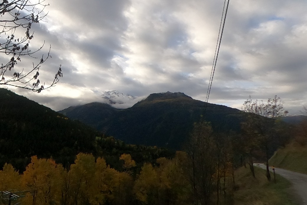
A loop on the sunny slope above Séez, through the Bochères forest, the hamlet of Saint-Germain and its mill, alpine pastures and the Champ Plan clearing to the Croix de Champ Plan, returning by a zigzag path that rejoins the way up. The tourist office rates it easy and gives 4.9 km, 2 hours 25 and 435 m of climb; with the shared stretch walked back to the car park it is about 6 km. This walk is not yet verified by ORMA.
The tourist office asks for dogs on a lead because the Bochères forest is a communal hunting and wildlife reserve. Séez also has a municipal arrêté on domestic animals whose text is not published online.
This is a point-to-point route, so plan the return: retrace your steps or check local buses; 435 m of gain over 4.9 km is a real climb: budget rests, and halve expectations for short-legged dogs.
Snow is possible here from December to February.
Estimated from the walk’s high point (1332 m). No tourist board publishes this walk’s season, and every winter is different.
Mapped start suggestion, Parking du Pont du Reclus at the entrance to Séez, opposite the campsite (official start). Check current access before travelling.
Do not rely on potential water locations being available or drinkable. Carry enough for the full walk.
Use the live forecast, check local access information and be ready for changing mountain conditions.
The trail rating above describes the mountain, and it's the same for every dog. How it suits yours depends on their build, age and health. See this route's match — scored for a medium dog until you add your own, free and in a minute.
Before you go: the dog safety guide · water for dogs on trail · dogs on cable cars · meeting a guardian dog