 ORMA
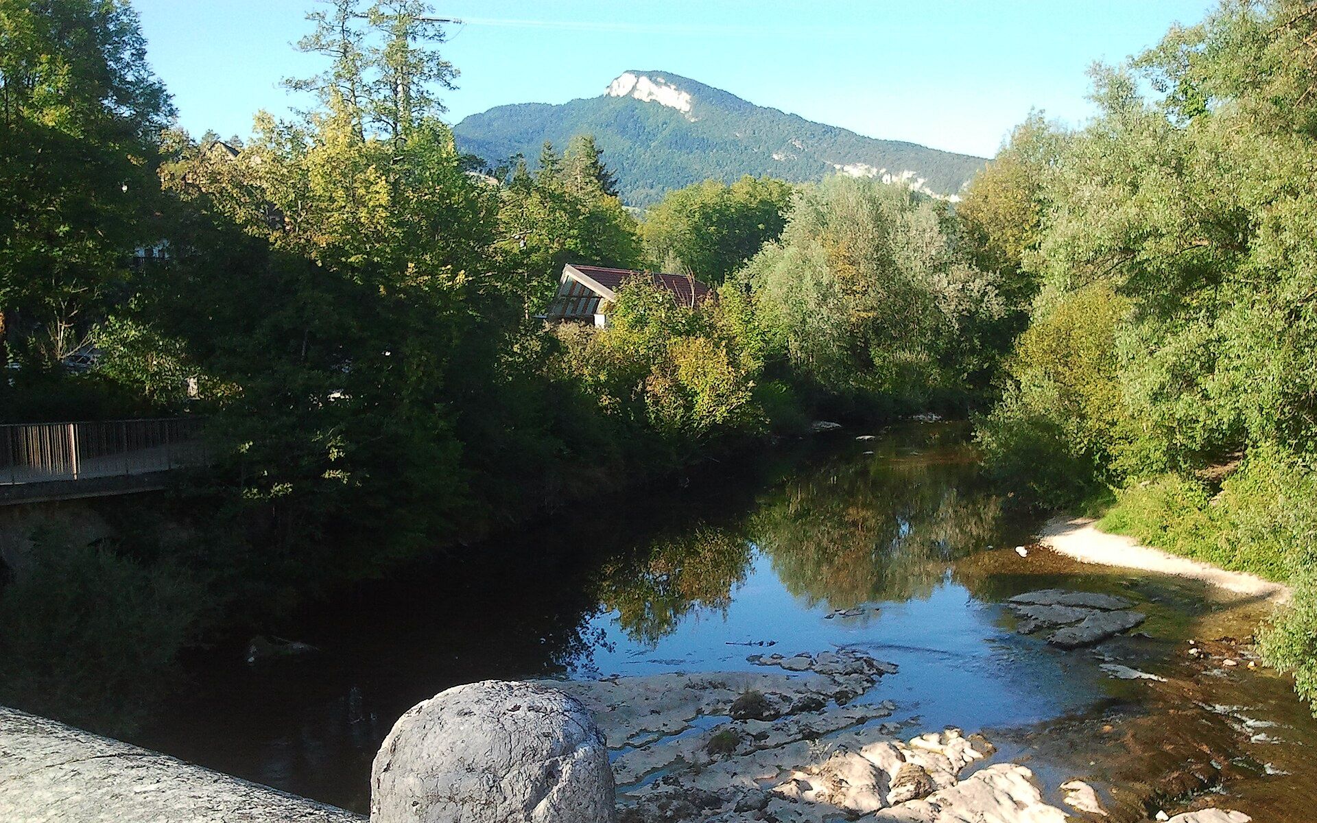
A loop of about 4.9 km from Les Échelles on the north-western edge of the Chartreuse regional park, following the GR9 from the Croix des Carriers past the Chapelle de la Madeleine viewpoint and returning on a yellow-waymarked path through the valley.
Dogs are accepted on a lead, according to Chartreuse Tourisme, and the official topo records no livestock guardian dogs. About half the walk is wooded. The way back runs about 430 m along the D921, part of it at 80 km/h with no pavement, then short stretches of the D1006 and D920 through the village at 30 km/h: keep your dog close there.
Snow is possible here from December to February.
Estimated from the walk’s high point (527 m). No tourist board publishes this walk’s season, and every winter is different.
Place de la Corderie car park (Rivièr'Alp / Maison du Guiers), Les Échelles
Directions: No number: GR9 (white-red) from the Croix des Carriers past the Chapelle de la Madeleine, then the yellow-waymarked path back, as the official text describes.
From ORMA's route audit of the official route description. Follow the mapped ORMA line and local signs.
Start at the Place de la Corderie car park (Rivièr'Alp, by the Maison du Guiers) or the church car park in Les Échelles. A tap is mapped by the Maison du Guiers picnic area at the start; there is no water on the hill. The route is described for 1 May to 30 November.
The trail rating above describes the mountain, and it's the same for every dog. How it suits yours depends on their build, age and health. See this route's match — scored for a medium dog until you add your own, free and in a minute.
Before you go: the dog safety guide · water for dogs on trail · dogs on cable cars · meeting a guardian dog
