 ORMA
a mule track to the meadows below Monte Disgrazia
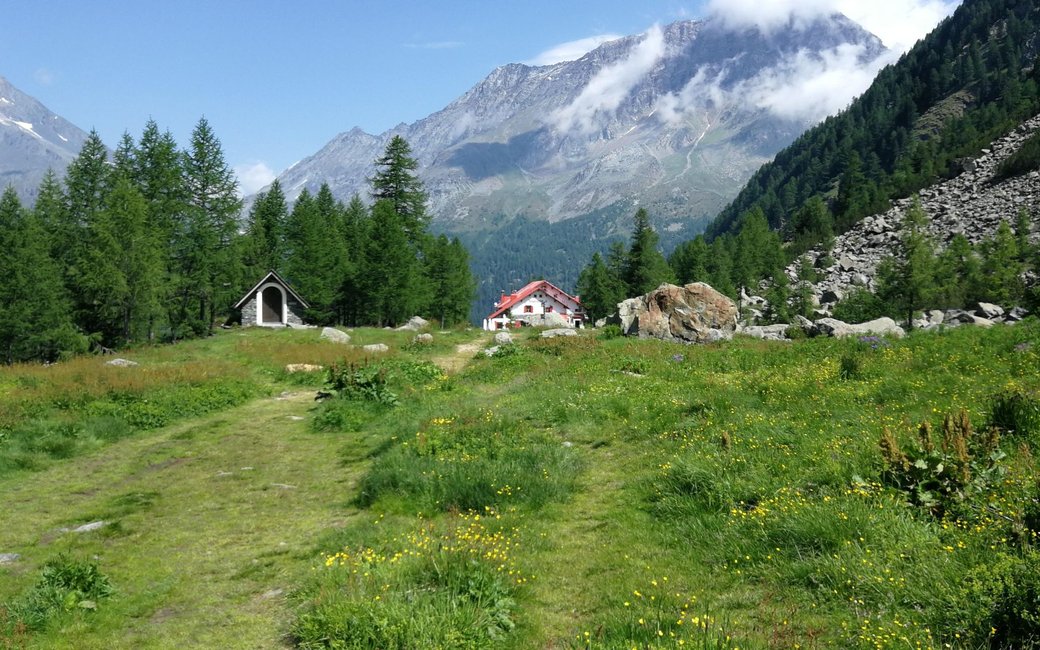
A classic, easy walk from Chiareggio up a wide mule track to the Rifugio Porro and the Rifugio Ventina, on a meadow plateau at the foot of Monte Disgrazia. The board lists 3.1 km, 372 m up and 18 m down, 1 h 25 one way.
Recommended from May to September.
Source: Outdooractive, read on 7 November 2026.
The car park in Chiareggio, the board’s start
Start at the large car park in Chiareggio, at the head of the Valmalenco, the board’s start.
Trail numbers and route: Follow the signs for path 323: drop a few tens of metres to the Mallero torrent and cross it on a wooden footbridge, then climb gently on the wide mule track through the larches to the open plateau at about 1,960 m, where the Rifugio Porro and then the Rifugio Ventina stand one after the other. Come back the same way.
Where to switch: No change of path: path 323 from Chiareggio to the huts.
Start at the car park in Chiareggio: 3.1 km and, as the board lists, 372 m of climbing, about an hour and a half to the huts, then the same way back. Walk it from June to October. Keep your dog on a lead the whole way: the national rule (1.5 m at most, muzzle carried) applies, and the Natura 2000 site asks for dogs on a lead and on the path. Food and drink at the huts.
The trail rating above describes the mountain, and it's the same for every dog. How it suits yours depends on their build, age and health. See this route's match — scored for a medium dog until you add your own, free and in a minute.
Before you go: the dog safety guide · water for dogs on trail · dogs on cable cars · meeting a guardian dog