 ORMA
a wooded peninsula on Lake Sils
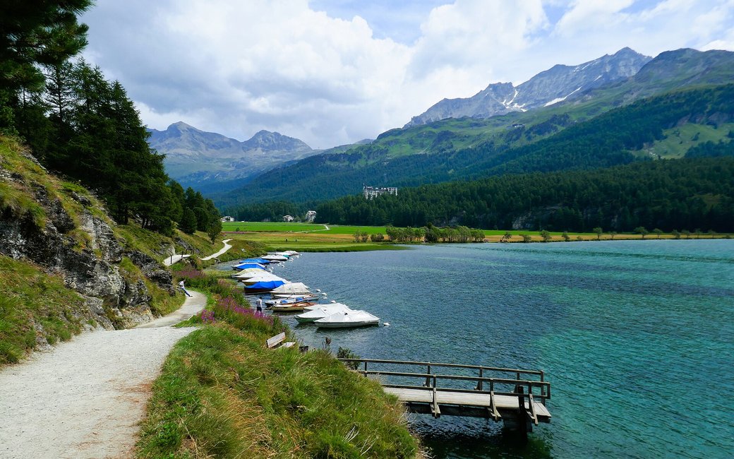
An easy loop from Sils across the plain to the wooded Chastè peninsula on Lake Sils, past the Nietzsche stone, and back along the shore through Sils Baselgia. The board lists 4.4 km, 49 m up and 49 m down, 1 h 12.
Recommended from May to October.
Source: Outdooractive, read on 7 November 2026.
Sils/Segl Maria car park, the board’s start
Start at the car park in Sils Maria, the board’s start, on Via da Marias.
Route: Walk north out of the village and take the track across the open plain towards Lake Sils and the wooded Chastè peninsula. At the start of the peninsula continue on the path that winds through the forest, past benches and the Nietzsche memorial stone near the tip, where a short detour leads to the remains of the castle on the northern shore. Leave the peninsula and turn right along the shore path called Crastellas, past the moored fishing boats, into Sils Baselgia. Follow Via da Truochs and Via da Baselgia through the village and Via da Marias back to the car park.
Key turns: Key turns: at the edge of the plain onto the peninsula path; after the peninsula right along the shore path to Sils Baselgia; through the village back to Sils Maria.
Start at the car park in Sils Maria: a 4.4 km loop, 49 m up and down, about an hour and a quarter. Keep your dog on a lead. Drinking water near the start and in Sils Baselgia near the end. Fire pits by the lake.
The trail rating above describes the mountain, and it's the same for every dog. How it suits yours depends on their build, age and health. See this route's match — scored for a medium dog until you add your own, free and in a minute.
Before you go: the dog safety guide · water for dogs on trail · dogs on cable cars · meeting a guardian dog
