 ORMA
a flat alpage track facing Mont Blanc
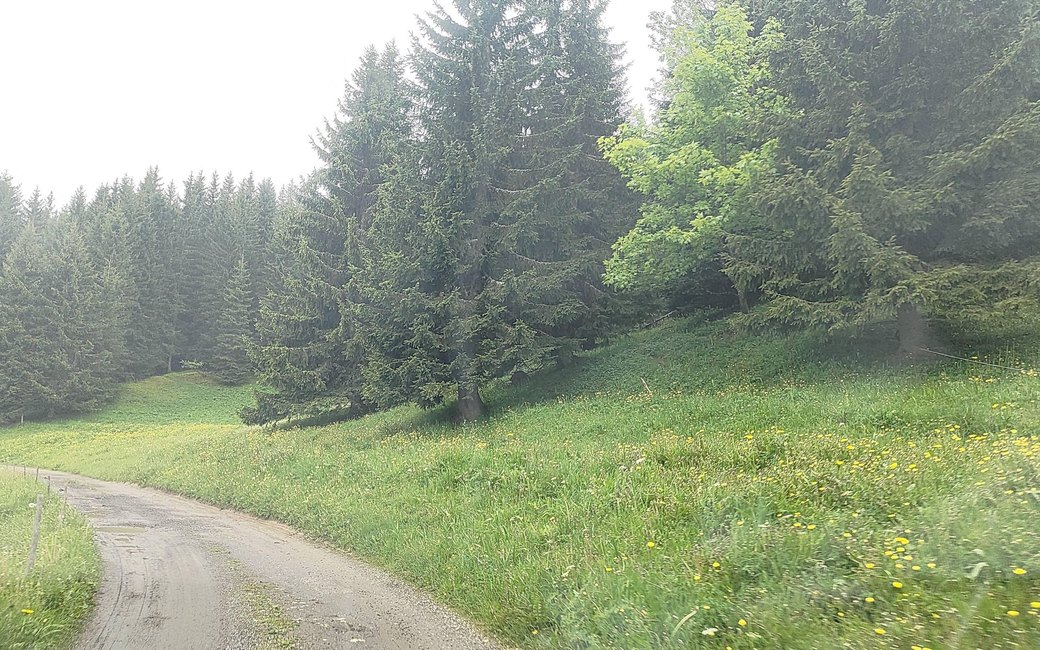
A short, flat walk on a farm track through the summer alpages above Crest-Voland, between grazing cows and goats and facing Mont Blanc and the Aravis, to the Chalets Brûlés and back. The official page lists 1.6 km, 20 m up and 20 m down, about an hour.
Snow is possible here from December to February.
Estimated from the walk’s high point (1517 m). No tourist board publishes this walk’s season, and every winter is different.
Grande Mouille car park on the road to Les Saisies, the board’s start
Start at the Grande Mouille car park, beside the road from Crest-Voland to Les Saisies about 3 km out of the village, the board’s start.
Route: From the car park continue along the drivable track, then on through the alpages between working farms, with the Mont Blanc massif and the Aravis ahead, to the Chalets Brûlés. Turn round there and come back the same way to the car park.
Key turns: No change of track: stay on the main track through the pastures and turn round at the Chalets Brûlés.
Park at the Grande Mouille car park on the Saisies road: 1.6 km there and back, almost flat, under an hour. Keep your dog on a lead through the grazing herds. Open mid-May to mid-November; there is no water or shade, so bring water on warm days.
The trail rating above describes the mountain, and it's the same for every dog. How it suits yours depends on their build, age and health. See this route's match — scored for a medium dog until you add your own, free and in a minute.
Before you go: the dog safety guide · water for dogs on trail · dogs on cable cars · meeting a guardian dog