 ORMA
the Piot waterfalls, the Acqua Santa spring and the Lambro
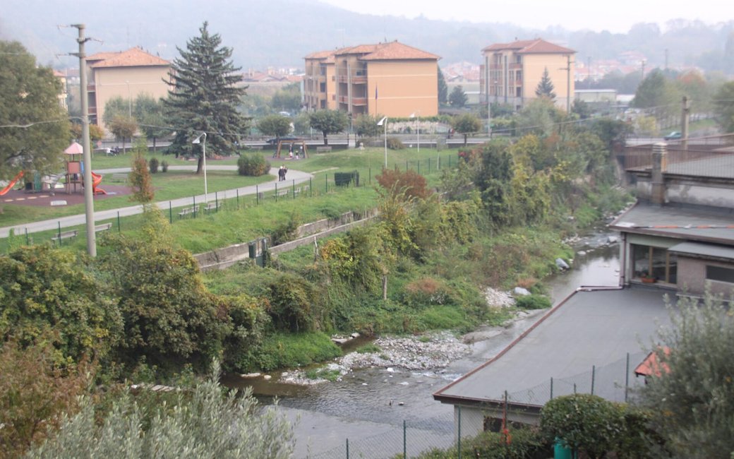
A short loop from Caslino d’Erba station through the old village and along the Piot stream to the Acqua Santa spring, across the Lambro to Ponte Lambro and back by Castelmarte. The portal lists 5.32 km and 447 m of ascent.
Snow is possible here from December to February.
Estimated from the walk’s high point (523 m). No tourist board publishes this walk’s season, and every winter is different.
The car park at Caslino d’Erba station, the published start
Directions: From Caslino d’Erba station up via IV Novembre, via Majet and the four hairpins of viale Tremolada into the old village (via Matteotti, via Cavour, Piazza Mazzini and its wash-house); up via San Giuseppe and left on via San Salvatore, the old way to Ponte Lambro signed for the Capanna Mara; over the bridge on the Piot past its little waterfalls and left to the Acqua Santa spring; past Bistonda on a gentle path for 500 m to the fork for the San Salvatore hermitage; left on a steep path down to Ponte Lambro (750 m), across the SP 40 with care, down steps to via Trieste and over the old bridge on the Lambro; through Piazza Vittorio Veneto and via Roma to the church of Santa Maria Annunciata; via Leonardo da Vinci to the SP 42, up the two flights of the Scalinata della Vigna to Castelmarte’s town hall, via Roma, Largo Diaz and via Dante, then down steps and a steep path in hairpins back to the station.
From ORMA's route audit of the official route description. Follow the mapped ORMA line and local signs.
Start at the station car park in Caslino d’Erba (train or bus C39): 5.3 km and about 450 m of climbing, two hours. All three communes require a lead of at most 1.5 m and a muzzle carried, and Caslino keeps dogs out of its public parks. Fill up at the fountains in Caslino’s old village.
The trail rating above describes the mountain, and it's the same for every dog. How it suits yours depends on their build, age and health. See this route's match — scored for a medium dog until you add your own, free and in a minute.
Before you go: the dog safety guide · water for dogs on trail · dogs on cable cars · meeting a guardian dog
