 ORMA
past the Campagneda lakes to the Swiss border
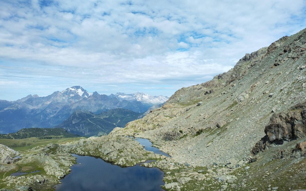
A popular walk from Campo Moro in the upper Valmalenco past the Rifugio Zoia and the Alpe Campagneda pastures, then along the Alta Via past small lakes to the Passo di Campagneda on the Swiss border. The board lists 5.27 km, 615 m up and 3 m down, 2 h 28 one way.
Recommended from June to September.
Source: Outdooractive, read on 7 November 2026.
The car park at Campo Moro, the board’s start
Start at the car park at Campo Moro, by the dams above Lanzada, the board’s start.
Route: Follow the old mule track past the Rifugio Zoia, up and down between rock walls and mountain pines, to the pastures of the Alpe Campagneda, where the going turns easy. At the junction with the Alta Via della Valmalenco follow it uphill, past the small Campagneda lakes, to the Passo di Campagneda with its marker arch on the Swiss border. Come back the same way.
Key turns: One change: at the junction on the Alpe Campagneda leave the mule track and follow the Alta Via della Valmalenco uphill to the pass.
Start at the car park at Campo Moro, above Lanzada: 5.3 km and, as the board lists, 615 m of climbing, about two and a half hours to the pass, then the same way back. Walk it from July to early October. Keep your dog on a lead the whole way: the national rule (1.5 m at most, muzzle carried) applies, and the Natura 2000 site asks for dogs on a lead and on the path. The pass is the border: stay on the Italian side unless your dog’s papers are in order for Switzerland.
The trail rating above describes the mountain, and it's the same for every dog. How it suits yours depends on their build, age and health. See this route's match — scored for a medium dog until you add your own, free and in a minute.
Before you go: the dog safety guide · water for dogs on trail · dogs on cable cars · meeting a guardian dog