 ORMA
past the waterfalls to a high lake
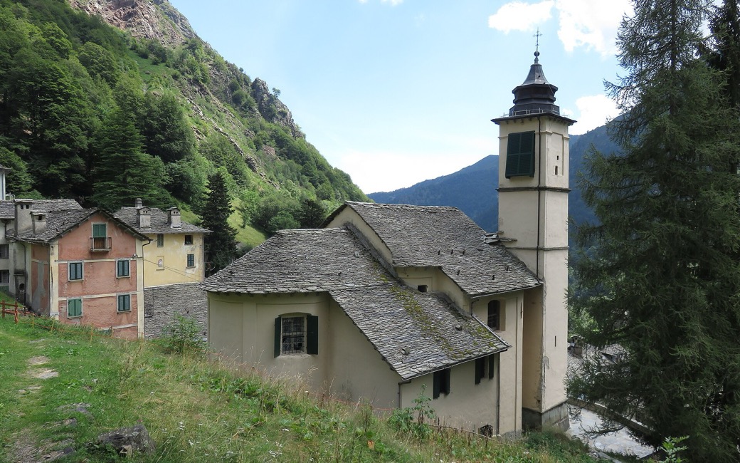
A climb from the Walser village of Campello Monti on path Z17, past waterfalls and the Alpe Piana di Via and Alpe Capezzone, to the Abele Traglio bivouac hut by the Lago del Capezzone. The park authority lists 4.2 km, 800 m up, 2 h 40.
Snow is likely here from November to May.
Estimated from the walk’s high point (2103 m). No tourist board publishes this walk’s season, and every winter is different.
The car park in Campello Monti (1,305 m), the park authority’s start
Start from the car park in Campello Monti (1,305 m), the park authority’s start, and walk through the village to the church.
Trail numbers and route: Climb the steps beside the church and follow path Z17 on a grassy mule track. At the first fork continue towards the Sass da Mür hut; at the second, by a small bridge, keep right along the stream to another small bridge on the left. Pass a waterfall into an upper hollow, cross it and climb the slope right of a small waterfall to the Alpe Piana di Via (1,723 m). Continue under a rock wall to a fork, bear right over a shoulder to the Alpe Capezzone (1,844 m), cross a stream and climb left to a grassy shelf. Keep left towards a cairn, cross a brook, climb a few hairpins and traverse right across a smooth rock with steps cut into it to the Abele Traglio bivouac hut (2,100 m) by the Lago del Capezzone.
Where to switch: Three choices, all on path Z17: at the first fork go on towards the Sass da Mür hut; at the fork by the small bridge keep right along the stream; at the fork under the rock wall bear right to the Alpe Capezzone.
Start from the car park in Campello Monti: 4.2 km one way up to the Lago del Capezzone, 800 m up, about 2 h 40, and back the same way. Valstrona asks for more than the national rule: on paths open to the public your dog must be on a lead and wear a muzzle, not just carry one. Streams on the way, but no mapped drinking water: bring water for your dog.
The trail rating above describes the mountain, and it's the same for every dog. How it suits yours depends on their build, age and health. See this route's match — scored for a medium dog until you add your own, free and in a minute.
Before you go: the dog safety guide · water for dogs on trail · dogs on cable cars · meeting a guardian dog
