 ORMA
up through the Cunetta pastures to the col
A climb from the Walser village of Campello Monti on paths Z14 and Z99 past the Alpe Orlo and the Alpe Cunetta to the Colle dell’Usciolo, above the Lago di Ravinella. The park authority lists 3.2 km, 700 m up, 2 h 20.
Snow is likely here from November to May.
Estimated from the walk’s high point (2020 m). No tourist board publishes this walk’s season, and every winter is different.
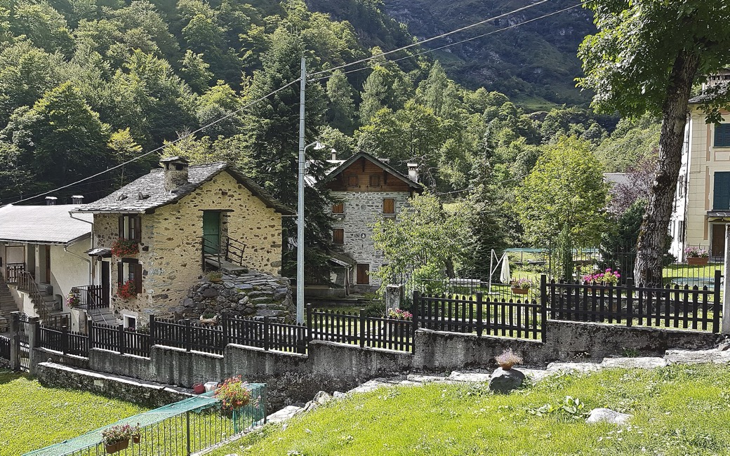
Campello Monti (1,305 m), the park authority’s start
Start at the top of the steps above the Walser village of Campello Monti (1,305 m), the park authority’s start.
Trail numbers and route: Follow the level mule track to the left and, at the signpost, path Z14, climbing diagonally to the huts of the Alpe Orlo (1,385 m). Past the laburnum trees drop to the stream, climb the far side, ford another stream and climb to the huts of the Alpe Cunetta di Sotto (1,542 m); where tall grass hides the path, wooden posts mark the way. Climb on to the pastures of the Alpe Cunetta di Sopra (1,810 m), leave the huts on your left, cross a wide green hollow and climb the steep, well-marked valley on path Z99 to the Colle dell’Usciolo (2,037 m), looking down on the Lago di Ravinella.
Where to switch: Two changes: at the signpost above Campello Monti take path Z14; above the Alpe Cunetta di Sotto continue on path Z99 to the col.
Start in Campello Monti: 3.2 km one way up to the Colle dell’Usciolo, 700 m up, about 2 h 20, and back the same way. Valstrona asks for more than the national rule: on paths open to the public your dog must be on a lead and wear a muzzle, not just carry one. No drinking water is mapped on the way: bring water for your dog.
The trail rating above describes the mountain, and it's the same for every dog. How it suits yours depends on their build, age and health. See this route's match — scored for a medium dog until you add your own, free and in a minute.
Before you go: the dog safety guide · water for dogs on trail · dogs on cable cars · meeting a guardian dog
